Download
1 / 20
200 likes | 296 Views
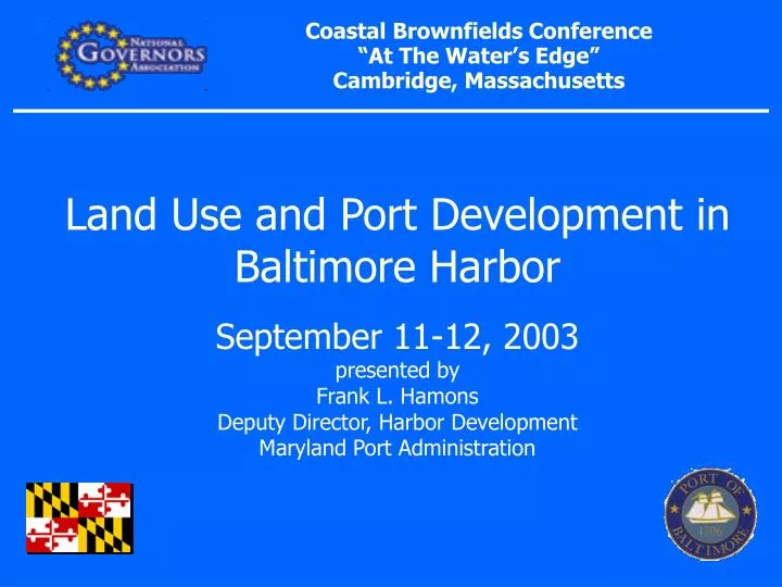
Coastal Brownfields Conference “At The Water’s Edge” Cambridge, Massachusetts. Land Use and Port Development in Baltimore Harbor September 11-12, 2003 presented by Frank L. Hamons Deputy Director, Harbor Development Maryland Port Administration. Baltimore ca. 1752. Baltimore ca. 1889.

E N D
Coastal Brownfields Conference “At The Water’s Edge” Cambridge, Massachusetts Land Use and Port Development in Baltimore HarborSeptember 11-12, 2003presented byFrank L. HamonsDeputy Director, Harbor DevelopmentMaryland Port Administration
Dredged Material Placement Options Dead Ship Anchorage Masonville Sparrows Pnt. Beneficial Sparrows Pnt. Conceptual Sollers Point Thoms Cove Baltimore Harbor Seed List Options • Other Management Options • Agricultural Use • Bricks • Innovative Reuse at Cox Creek • Key Bridge Piling Protection • Mines & Quarries (Rail) • Community Enhancement / Beneficial Use Options • Fort Howard • Hog Neck • Key Bridge Southwest • Patapsco Ponds X • Fairfield Amoco
Cumulative Space Consumed MASONVILLE SOLLERS POINT FAIRFIELD AMOCO THOMS COVE SPARROWS POINT CONCEPTUAL DEADSHIP ANCHORAGE SPARROWS POINT BENEFICIAL USE
Masonville: Site Area = 81 acres Total Capacity = 9.4 mcy Annual Capacity = .5 mcy Site Life = 17 years
Sparrows Pt Upland: Site Area = 200 to 600 acres Total Capacity = 13 to 36 mcy Annual Capacity = 0.3 to 1.3 mcy Site Life = 11 to 37 years
Fairfield-Amoco: Site Area = 137 acres Total Capacity = 6.41 mcy Annual Capacity = 0.6 mcy Site Life = 11 years