Download
1 / 10
100 likes | 112 Views
Explore plate tectonics, fault lines, and tsunami causes. Learn about seismic events in California and worldwide. Be prepared for future earthquakes and tsunamis.

E N D
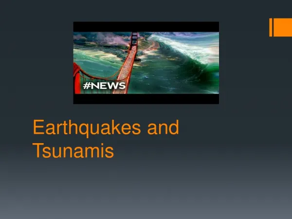
Introduction to Earthquakes and Tsunamis Eldridge Moores Distinguished Professor Emeritus of Geology, UC Davis California Senate Energy Committee Senator Alex Padilla, Chair, April 14, 2011
EM Page 1 Fig. 1-2 Fig. 1-1 Folds Coast Ranges LA region San Andreas Divergent margin Transform margin Plate tectonics of the Earth Moores & Twiss, 1995 Tahoe V., Death Valley. San Andreas F. Faults and plate margins California examples LA basin, Cascade “megathrust”, C. Ranges Convergent/subduction margins (After Google Images)
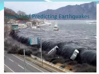
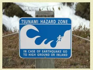
EM Page 2 • Faults: • Shaking depends on size of e.q., distance, and nature of ground--greatest in loose sediments, less on bedrock • Tsunamis: • Result from change in ocean bottom shape and depth. • Involve entire water column, not just near-surface. • Velocities about 500 mph in deep ocean, • 30-60 mph near shore, where water bunches up. • Near shore: may be focused or dispersed depending • on the shape of the sea floor. • Principal Causes: • Earthquakes • Landslides • Explosive volcanic eruptions in shallow ocean
EM Page 3 Fig. 3-3 Fig. 3-2 Fig. 3-1 After Atwater et al. (2005) USGS Prof. Pap. 1707
Fig. 4-1 Fig. 4-2 EM Page 4 Vancouver I. “Megathrust” M9, 1700 M9 2011 Cascade HB M7.9 1906 M71989 DC M7.9 1857 SO (After Moores & Twiss,1995)
EM Page 5 Fig. 5-1 1700 HB 1906 1857 San Gregorio-Hosgri DC SO (Moores & Twiss, ibid)
EM Page 6 Fig. 7-1 HB Atwater et al, 2005 Cascade tsunami model Fig. 7-2 (Atwater et al, 2005) After NRC Can.
EM Page 7 World’s largest Landslide • Possible landslide locations that • may cause tsunamis: • Hawaii • Basins off southern CA Hawaiian Islands Santa Barbara 1812 eq & “waves” Tsunami in Australia? Fig. 8-2 ACTIVE: 10 cm/yr LA After Moore et al., (1989) Fig. 8-1 SO faults Cliffs on ridges=landslides?
EM Page 8 • CONCLUSIONS: • California is on an tectonic plate margin that • has been active for millions of years, and • will likely continue for millions of years. • Active plate margins involve infrequent • unpredictable events with large consequences. • As Californians, we can expect a future • earthquake/tsunami event as large as the • recent Japan, event, possibly in our lifetime. • We need to prepare present and future structures • and emergency procedures accordingly. • We still have much to learn about Earth processes, • and there may well be geologic surprises in our future.
EM Page 9 • “Civilization exists by geologic consent-- • subject to change without notice.” • -Attributed to Will Durant