Download
1 / 18
180 likes | 345 Views
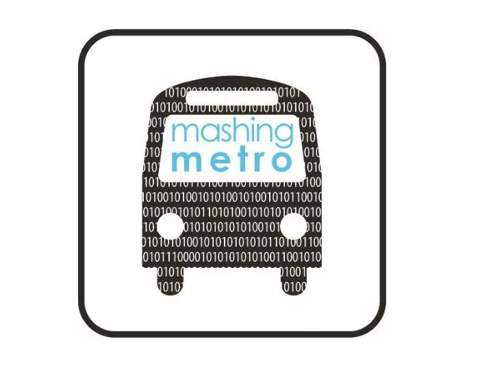
m ashing m etro Trip Planner. A Tool for Decentralized Cities Helping Tourists Navigate the 21 st century American City Today’s Demo: Los Angeles A city victim to sprawl No clear “downtown” Difficult to navigate. Aims. Easy to Use User friendly Geared for users who like to be guided

E N D
mashing metroTrip Planner A Tool for Decentralized Cities Helping Tourists Navigate the 21st century American City Today’s Demo: Los Angeles • A city victim to sprawl • No clear “downtown” • Difficult to navigate
Aims • Easy to Use • User friendly • Geared for users who like to be guided • Controlled Experience • Site design inspires little exploration outside of given frame • By focusing on “neighborhoods”, cities are able to hide unpopular areas • Give the simple tools needed to plan a great visit • Not overwhelm users with too many options
Starting Point: Union Station The Gateway to Los Angeles for Public Transit Users Transit hub located in Downtown, Los Angeles. A connection point for: • National rail service: Amtrak • Regional rail service: Metrolink • Local rail service: Metro • Regional and local bus service: various companies
Starting Point: Union Station Trip planner simplifies Los Angeles • Focuses on compact pedestrian friendly neighborhoods • Provides only direct routes to destination • No transfers, no room for mistakes! • Focuses on only five transit routes • All express routes: three rail lines and two rapid buses
Design • Simple User face • Split Maps • Various Tabs
How to UseStep 1: Select Neighborhood • Two inputs • Neighborhood • List of 10 Neighborhoods • Category of Interest • Implementation of Yelp! API • Categories • Arts and Entertainment • Food: Restaurant, Coffee Shop, • Bars • Shopping • Hotels
How to UseStep 1: Select Neighborhood Clicking “Get Directions” • Top Pane: Yellow Bus Icon Appears • Bottom Pane: • Zooms to selected neighborhood • Bus Stops • Yelp! Recommendations • Clicking on icon provides more information and link to review
How to UseStep 2: Where do I board? More information given about top pane • Transit Stop Name (Intersection) Given • Bus Users Prompted to Click Transit Icon • Generates Street View of bus stop • User can navigate street within street view box.
How to Use Step 3: Which Metro Line Should I Take? • User given bus line and route
How to UseStep 4: Where do I exit? • User given name of stop to get off • Bus Users: prompted to click on desired exit point and given street view in left pane
How to UseStep 5: Neighborhood Characteristics Retail characteristics provided in pie chart. Categories: • Electronics/Appliances • Clothing • Food and Beverages • Health and Personal • Sporting and Hobby Activate zip code layer • Click within bounds of any zip code to get retail character
Additional Features Tabs: • Help Section • Question/Comments • Mashing Metro Profile
Demo http://www.yohman.com/students/danwu/home.html