Download
1 / 15
170 likes | 542 Views
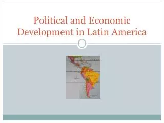
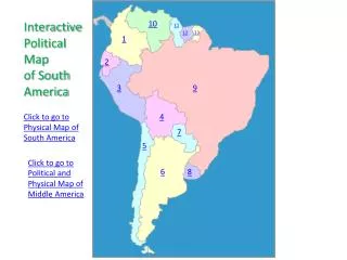
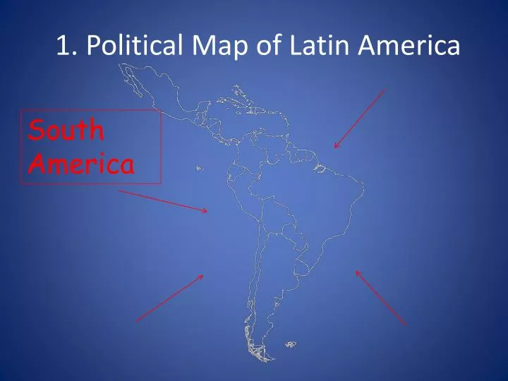
South America. 1. Political Map of Latin America. Caribbean. 2. Political Map of Latin America. Central America. 3. Political Map of Latin America. Brazil. 4. Political Map of Latin America. Colombia. 5. Political Map of Latin America. Venezuela. 6. Political Map of Latin America.

E N D
South America 1. Political Map of Latin America
Caribbean 2. Political Map of Latin America
Central America 3. Political Map of Latin America
Brazil 4. Political Map of Latin America
Colombia 5. Political Map of Latin America
Venezuela 6. Political Map of Latin America
Bolivia 7. Political Map of Latin America
Cuba 8. Political Map of Latin America
Haiti 9. Political Map of Latin America
Panama 10. Political Map of Latin America
11. Physical Map of Latin America Mountains that run down the Western coast of South America Andes Mountains
12. Physical Map of Latin America Mountains that border the east and west coast of Mexico Sierra Madre Mountains
13. Physical Map of Latin America Dry desert that runs along the southern border of South America Atacama Desert
14. Physical Map of Latin America Body of water that is surrounded by Mexico to its west, the US to its north, and the Caribbean islands to its south Gulf of Mexico
15. Physical Map of Latin America Body of water that is surrounded by the Caribbean islands to its north, South America to its south and Central America to its west. Caribbean Sea