Download
1 / 14
140 likes | 153 Views
Learn how we study the sun using satellites like SOHO, ACE, and STEREO to predict space weather and its effects for technology and the ionosphere. Explore the role of solar coronagraphs, ionosphere mapping, and GPS satellites.

E N D
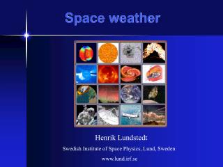
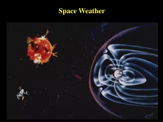
Information is gathered from many sources to predict the current and future condition of the sun/earth environment • Conditions on the sun, within the solar wind, and within the earths ionosphere have an impact on many of today’s technologies Image courtesy of the Alder Planetarium
How Do We Study the Sun? • Satellites, such as SOHO, ACE, and STEREO, monitor the sun and the properties of the solar wind Image courtesy of National Oceanic and Atmospheric Administration (NOAA)
SOHO Satellite • Maintains a position in the earth-sun line at the LaGrange Point (L1 point) • At this location the satellite maintains a period of revolution equal to the earth Image courtesy of The Worlds of David Darling
SOHO UV Image from EIT • Provides various images of the sun helping scientists • Predict space weather • Study the sun’s atmosphere • Study sun spots • Study the interior of the sun Flare MDI Image Images courtesy of National Aeronautics and Space Administration (NASA)
SOHO Coronagraphs • A coronagraph produces an artificial solar eclipse • Allows scientists to block the light of the sun and view the corona Courtesy of SOHO/LASCO consortium. SOHO is a project of international cooperation between ESA and NASA
ACE Satellite • ACE is also positioned at the L1 point • Provides data on the velocity and composition of the solar wind Image courtesy of National Aeronautics and Space Administration (NASA) Image courtesy of National Oceanic and Atmospheric Administration (NOAA)
STEREO Satellites • Two satellites orbiting the sun at 1 AU, ahead and behind the earth • Provide 3-D images of the sun • Data will greatly enhance understanding of CME’s and solar wind Image courtesy of National Aeronautics and Space Administration (NASA)
STEREO 171 Angstrom wavelength of extreme ultraviolet light • STEREO can see the sun in several different wavelengths and temperatures • Each wavelength allows scientists to see different features on the sun Put on your 3D glasses!! Image courtesy of National Aeronautics and Space Administration (NASA)
Studying the Ionosphere • Conditions within the earth’s ionosphere have a direct impact on technologies such as; • cell phones • radio transmission • satellite communication • GPS Image courtesy of Sergei Maurits, Arctic Region Supercomputing Center, University of Alaska Fairbanks
How Do We Monitor Earth Conditions? • GPS satellites provide data to evaluate the condition of the ionosphere • Incoherent Scatter Radar takes ground based measurements of the ionosphere Image courtesy of National Aeronautics and Space Administration (NASA) Image courtesy of MIT Haystack Observatory
GPS (Global Positioning System) Satellites • Orbit the earth every 12 hours • Emit continuous navigation signals • At any given time there are at least 4 satellites overhead Image courtesy of National Oceanic and Atmospheric Administration (NOAA)
Ionosphere Mapping • By using GPS data, a map of the variations in the makeup of the ionosphere can be constructed • Changes in the ionosphere affect technologies such as satellite communications
Incoherent Scatter Radar ISR • Targets the electrons in the ionosphere • Provides data on electron density, temperature and movement