Download
1 / 29
290 likes | 430 Views
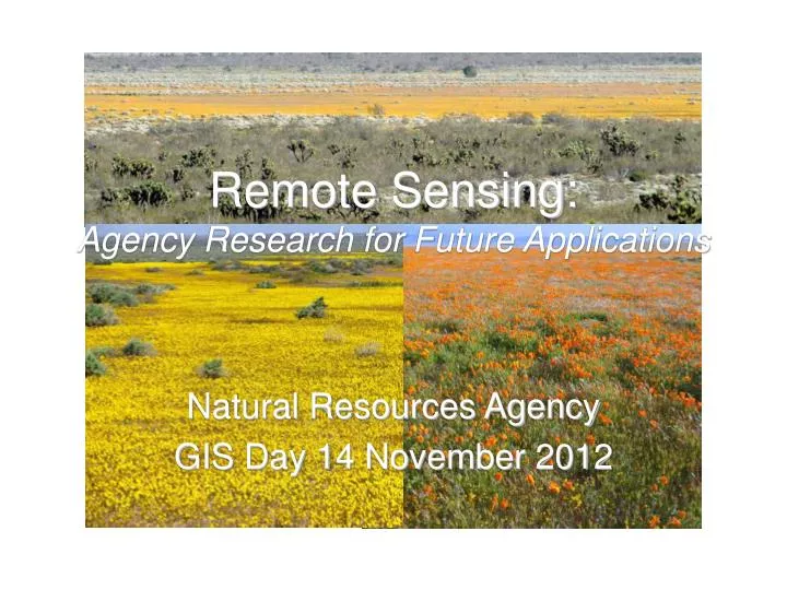
Remote Sensing: Agency Research for Future Applications. Natural Resources Agency GIS Day 14 November 2012. Talk Overview. “Where we are” “Where we are heading” Agency-sponsored remote sensing research: GOES Early Fire Detection System VegCAMP statewide vegetation mapping

E N D
Remote Sensing:Agency Research for Future Applications Natural Resources Agency GIS Day 14 November 2012
Talk Overview • “Where we are” • “Where we are heading” • Agency-sponsored remote sensing research: • GOES Early Fire Detection System • VegCAMP statewide vegetation mapping • Desert Renewable Energy Conservation Plan • High Resolution Land Cover Mapping Project • Urban Forest and ecosystem services characterization
Recap of “Where We Are” • RS Sensors and Infrastructure Support • Higher resolution (spatial, temporal & spectral) sensors, active sensors (e.g. LiDAR) • More precisely geo-referenced data • Faster computers, better telemetry, better and easier to use software • Faster computer networks and connections • Cheaper and more accessible data storage • Increasing mobility (smart phones, tablets) • Faster turn-around from acquisition to analyst • Getting nearer to real-time data availability • Off-the-shelf data availability
“Where We Are Heading” • General trends – more: • progress on all of the above trends • use of active sensors (e.g. LiDAR) • use of a wide variety of Unmanned Aerial Vehicle (UAV) platforms with host of sensors • AI software development aiding high resolution RS data analysis and interpretation • development and automation of sensor to “system” or to end-user seamless data flow • a core remaining challenge: best merging of machine processing and human capabilities for RS analysis
RS Research at Agency 3 Agency-sponsored research projects using RS for natural resource analyses and emergency response • GOES Early Fire Detection System -- USFS / UC Davis / CAL FIRE / NASA Ames • VegCAMP – DFW / Aerial Information Systems • Urban Forestry Canopy characterization – CAL FIRE - FRAP / USFS PSW / U of Vermont
GOES Early Fire Detection System • Partners: DWR; NASA/Ames; USFS; UC Davis; CAL FIRE • Near real-time (20 min time step) GOES-11 imagery to detect wildfires • Goal: earlier fire detection than current system • Trigger for other sensors to collect data over targeted area • To set into motion other parts of the RS collection, downlink and processing system
VegCAMP Program • Partners: DFW; USGS; NPS; AIS; many others • Vegetation spatial databases at association to alliance level of detail (FGDC standards) • ~20% of state mapped, including Mojave Desert for Desert Renewable Energy Conservation Plan • Methodology flexible, broad integration of data sources, plot data reference points, dichotomous floristic and physiognomic keys • Balance of expert aerial photo interpretation, standard reference plot locations, and heads-up digitizing using 1’ resolution Bing (MS) data
Nolina parryi Shrubland Alliance
High Resolution Land Cover Mapping Project • Partners: CAL FIRE / FRAP, USFS-PSW UC Davis, U Vermont Spatial Analysis Lab • Goals: • Mapping urban tree canopy cover • ID potential areas for more trees • Assessment of ecosystem services • 391 km2 area of San Jose • Object-Based Image Analysis (OBIS) for classifying 0.3m to 1m pixels (NAIP and LiDAR) • Grouping from spectral/spatial/structural properties using ENVI, eCognition and ESRI software • Initial accuracy assessment: ~80%
San Jose Project Study Area
LiDAR Structure Image
OBIA Classified Land Cover Image
Summary • Major technological trends all continuing • Integrated stem-to-stern systems (sensor to end user) applications development • LiDAR uses highlighted in research • AI software for high spatial resolution data • Circling back to older API techniques, but using AI machine assistance and MUCH better RS data / technology for the tasks.
Thank You! • Questions?
Remote Sensing:Agency Research for Future Applications Natural Resources Agency GIS Day 14 November 2012
RS Evolutionary Trends • Early 1900s aerial photo Interp • Satellite Era – digitized downlinks -> images • LANDSAT for natural resource interp • Machine processing of multispectral “pixels” • Thermal infrared imagery • Hyperspectral imagery (MANY spectral bands) • High spatial resolution satellite imagery • Aerial photo interp redux? • More spatial resolution, more spectral resolution, and more temporal resolution • Ever better geo-referencing
RS and GIS • A natural fit • Complementary views of earth • spatial data • Most think “vector” with GIS, but rasters are also useful • RS data like specialized GIS raster files
RS Remark • In the 1970s, 80s and 90s, very difficult to imagine that RS data would ever be as readily available and used as it now is. • Photoshop ~= Image Processing • Internet data distribution system • Computer storage capacity increases • Software availability
Main Uses in NRA GIS • Background or base layer for digitizing and/or viewing other spatial data • Interpretation of “permanent” ground features (e.g. housing units) • Emergency Management (NRA) of transient ground features (e.g. wildfires) • Internet postings (e.g. daily MODIS data) • Change detection • Forest and tree characterization (research)
The RS Satellite Zoo • Tried and true • Journeymen • New on the block
Other RS Platforms • Piloted Aircraft • NIROPS data collection • Pilotless Drones • Sizes from very large to very small • More and more commonly used
Active vs. Passive Systems • Most common systems passive (use reflected sunlight or emitted heat) • Many examples • Active • RADAR (somewhat limited utility) • LiDAR (becoming a prime RS data source for topography, vegetation structure, infrastructure dimensions)
Off-the-shelf vs. Research • Most uses are of data “off the shelf” • NAIP imagery • Less common: image processing and feature extraction for quantitative results