Download
1 / 8
80 likes | 94 Views
Explore the importance of geodata in management decision-making, including required information, decision thresholds, and confidence intervals. Learn about long-term geodata usage and the challenges of defining business requirements decades ahead. Examples of historical geodata usage are provided.

E N D
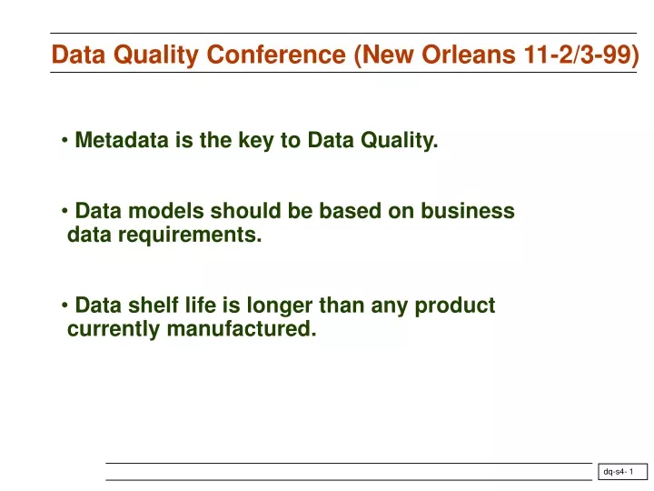
Data Quality Conference (New Orleans 11-2/3-99) • Metadata is the key to Data Quality. • Data models should be based on business • data requirements. • Data shelf life is longer than any product • currently manufactured.
What are the business requirements for geodata? • The main purpose of geodata is to help management take decisions. Decisions require: • The information used to take the decision, • The decision threshold and rules, • The interval of confidence of the information. • Other purpose is to serve as a baseline for future analysis (???).
What are the business requirements for geodata? • The main purpose of geodata is to help management take decisions. • Decisions require: • The information used to take the decision, • Example: Measurement of porosity, • The decision threshold and rules, • Example: Minimum porosity required to complete reservoir. • The interval of confidence of the information, • Example: Precision and accuracy of measured porosity
What are the business requirements for geodata? • The main purpose of geodata is to help management take decisions. • Decisions require: • The information used to take the decision, • Example: Measurement of porosity, • Available from logging company • The decision threshold and rules, • Example: Minimum porosity required to complete reservoir. • Available from O & G company (is it stored?) • The interval of confidence of the information, • Example: Precision and accuracy of measured porosity • Not currently delivered by logging company.
Long term usage of geodata Geodata may be used decades after acquisition (field study, time-lapse techniques) Business requirements decades from now are difficult or impossible to define at the time of acquisition Need to keep all acquisition data and description of the acquisition conditions
Examples • Observations of volcanic eruptions by the Chinese (confirmed by ice cores in Antartica and Greenland). Observations of comets, eclipses and star explosions. • Observations of finches by Darwin (long before he thought about the theory of evolution). • Description of an experiment in physics. • Keeping a “log” to describe life on a ship. • Keeping all AIT data before the modeling software (using all raw TR curves) was made available. This software does need all these raw curves.
Short term use Business requirements can be defined. Should be done at job planning phase. Requirements vary with users. There could be multiple users/partners/departments (with conflicting requirements). Format needs to be optimized for efficiency and size. Service company (and PWLS) can propose default format Long term use Business requirements are not defined. The service company in best position to assess what could be useful. Everything, even apparently irrelevant items need to be kept. Optimization and size are not an urgent concern. Proposed data “scheme”
Datascheme Acq S S S’ L a S”