Download
1 / 15
150 likes | 283 Views
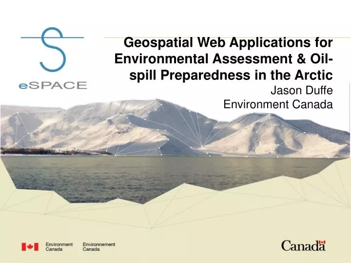
Geospatial Web Applications for Environmental Assessment & Oil-spill Preparedness in the Arctic Jason Duffe Environment Canada. Geospatial Web Applications. Northern Data Discovery Portal Regional Environmental Assessment Toolkit - BREA Emergency Response Application.

E N D
Geospatial Web Applications for Environmental Assessment & Oil-spill Preparedness in the Arctic Jason Duffe Environment Canada
Geospatial Web Applications Northern Data Discovery Portal Regional Environmental Assessment Toolkit - BREA Emergency Response Application
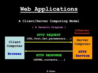
Northern Data Discovery GeoPortal Web based access to wide variety data of interest to scientists, policy analysts and decision makers Non-GIS practitioners can use portal Data from many departments with goal of each group/department housing and maintaining their own data Portal provides interface to display, explore, analyze different datasets
Putting PLACE first Geospatial information platform - link to place-based coordinates Web based application allows various information layers from different organizations to be visualized and analyzed without managing the data
The Beaufort Sea – Wildlife and Monitoring Protected Areas and EC Monitoring Important Wildlife Areas (EC, DFO, Territories) Traditional Knowledge/Use
The Beaufort Sea – Kendall Island MBSShoreline sensitivity to oil spills (eSPACE)
Regional Environmental Assessment Toolkit BREA Intended to aid government, industry, Aboriginal groups, resource managers and public stakeholders in better understanding the geographic distribution of areas which are sensitive for environmental and socio-economic reasons in the face of economic development Explore and visualize data Share and distribute data Upload / download (with restrictions/control) Visualize and analyze interactions between biological or socio-economic variables with economic development Where are potential conflict areas? Cumulative effects scenarios
Advanced Functionality 2 Separate Tools Under “Cumulative Effects Scenario” menu Analyze existing sensitivity layers (AANDC-PEMT) using the weighted overlay tool Take vector sensitivity data either in portal or uploaded (i.e. Important bird areas) and generate VEC Sensitivity raster that can be incorporated Output new raster, named, stored Raster Calculator (simplified) Combine rasters (with weightings) to create new outputs
Geotagged video Mixed sediment beach with woody debris, upper intertidal zone, Yukon
Summary Organizations make web services available – maximize use of existing data hubs Data stored, managed, updated by responsible organization – can be ingested, displayed, analyzed by others Requires coordination, adherence to standards, interoperability Arctic Ocean Observing System (AOOS) working example