Download
1 / 25
250 likes | 368 Views
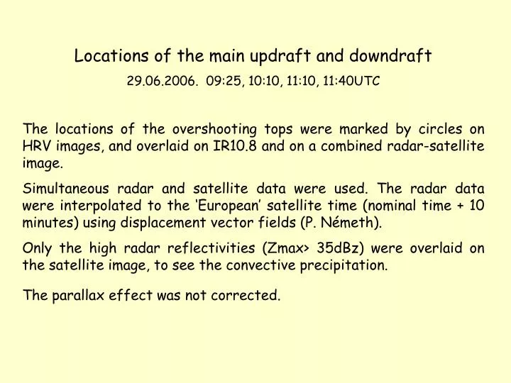
Locations of the main updraft and downdraft 29.06.2006. 09:25, 10:10, 11:10, 11:40UTC T he locations of the overshooting tops were marked by circles on HRV images, and overlaid on IR10.8 and on a combined radar-satellite image.

E N D
Locations of the main updraft and downdraft 29.06.2006. 09:25, 10:10, 11:10, 11:40UTC The locations of the overshooting tops were marked by circleson HRV images, and overlaid on IR10.8 and on a combined radar-satellite image. Simultaneous radar and satellite data were used. The radar data were interpolated to the ‘European’ satellite time (nominal time + 10 minutes) using displacement vector fields (P. Németh). Only the high radar reflectivities (Zmax> 35dBz) were overlaid on the satellite image, to see the convective precipitation. The parallax effect was not corrected.
HRV cloud (HRV,HRV,IR10.8) Radar (Zmax > 35dBz) 09:25UTC
HRV cloud (HRV,HRV,IR10.8) Radar (Zmax > 35dBz) 09:25UTC
HRV (70-100%) 10:10UTC Overshooting top Plume Gravity wave
HRV cloud (HRV,HRV,IR10.8) Radar (Zmax > 35dBz) 10:10UTC
HRV cloud (HRV,HRV,IR10.8) Radar (Zmax > 35dBz) 10:10UTC
HRV (70-100%) 11:10UTC Overshooting top Radial cirrus Gravity wave
HRV cloud (HRV,HRV,IR10.8) Radar (Zmax > 35dBz) 11:10UTC
HRV cloud (HRV,HRV,IR10.8) Radar (Zmax > 35dBz) 11:10UTC
HRV cloud (HRV,HRV,IR10.8) Radar (Zmax > 35dBz) 11:40UTC
HRV cloud (HRV,HRV,IR10.8) Radar (Zmax > 35dBz) 11:40UTC