Download
1 / 21
210 likes | 327 Views
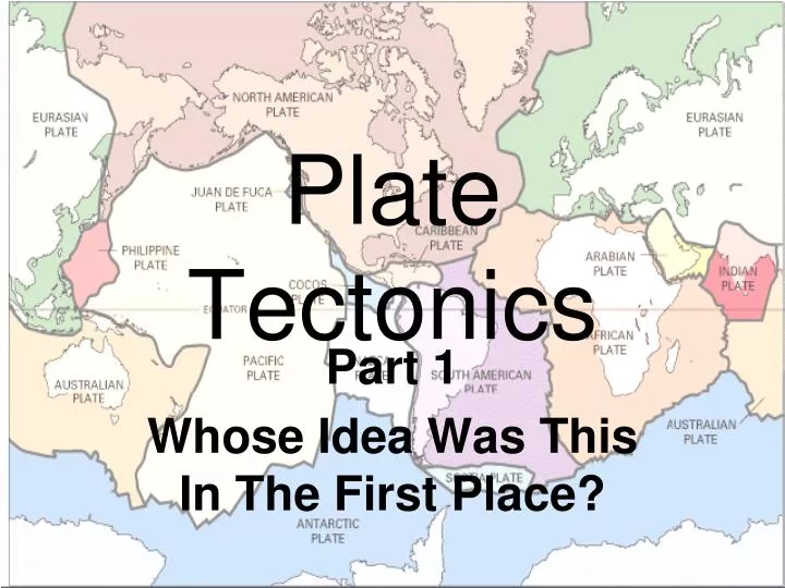
Plate Tectonics. Part 1 Whose Idea Was This In The First Place?. The idea of continents in motion is hundreds of years old. In 1596, Dutch mapmaker Abraham Ortelius stated that “the Americas were torn away from Africa And Europe by earthquakes and floods.”. Alfred Wegener-.

E N D
Plate Tectonics Part 1 Whose Idea Was This In The First Place?
The idea of continents in motion is hundreds of years old • In 1596, Dutch mapmaker Abraham Ortelius stated that “the Americas were torn away from Africa And Europe by earthquakes and floods.”
Alfred Wegener- • The idea was revived in the early 1900’s by German meteorologist, Alfred Wegener • He was inspired by the near perfect fit of Africa and South America. • He would spend years researching all areas of earth science to help support his theory.
Continental Drift • Wegener searched for evidence that supported his hypothesis that continents were once joined. • Evidence: Coastlines match with near perfection • Evidence: matching plant and animal fossils found on both continents • Impossible for the plants or animals to swim or be transported across ocean, the land must have been joined.
More Evidence • Drifting continents explained dramatic climate changes on some continents. • Tropical plant fossils (coal) in frozen Antarctica • Tropical fern fossils (Glossopteris) in now colder climates. • Glacial deposits in South Africa. • Polar dinosaurs found in Australia
Theory Rejected • Geologists at the time rejected Wegener’s theory. • Wegener suggested the continents plowed through the ocean floor, or gravitational pull from the moon could tug the continents slowly into new positions • Other scientists argued correctly that this was physically impossible • Despite so much evidence, without a mechanism for moving the continents, the theory was not accepted
Developing the theory • Until new evidence was revealed, Wegener’s continental drift theory lay dormant. • Discoveries of ocean floor topography-trenches and mid-ocean ridges and rift valleys • Discovery of Earth’s changing magnetic field • Development of Seafloor Spreading model • Concentration of earthquakes and volcanoes at plate boundaries
Ocean Floor Mapping Timeline • Before WW1-believed ocean floor was flat and featureless • WW1-primitive sonar revealed a mid Atlantic ridge • 1947-seismic survey showed thin sediments on ocean floor-expected to be thicker because ocean floor was believed to be very old • 1950’s-mid ocean ridges discovered in all oceans
Paleomagnetism • 1950’s-scientists discovered magnetism in ocean floor basaltic rocks • The magnetic pattern created a striped appearance when mapped • The pattern was a mirror image on either side of a mid-ocean ridge
Seafloor spreading • Idea came from the magnetic striping • Ages of rocks near mid-ocean ridges was youngest • Age increased away from ridge • Age of rocks with same magnetism is same • Therefore must have been formed at mid ocean ridge and been forced away by formation of new crust
Seafloor spreading cont’d • If new crust is formed at mid-ocean ridges, why isn’t earth getting larger? • Answer: it is being subducted and recycled into the mantle at ocean trenches at convergent boundaries • Idea was proposed by Harry Hess, a Princeton geologist and Navy Admiral
Ridge Push and slab pull • Gravity causes raised mid ocean ridges to push apart, causing seafloor spreading • Gravity pulls at subducting ocean slabs at convergent boundaries, dragging oceanic crust into mantle • The oldest ocean crust is 180 mya • The oldest continental crust is almost 4 bya (that’s 4000 mya)
Earthquakes • Earthquakes are concentrated at plate boundaries