Download
1 / 26
260 likes | 427 Views
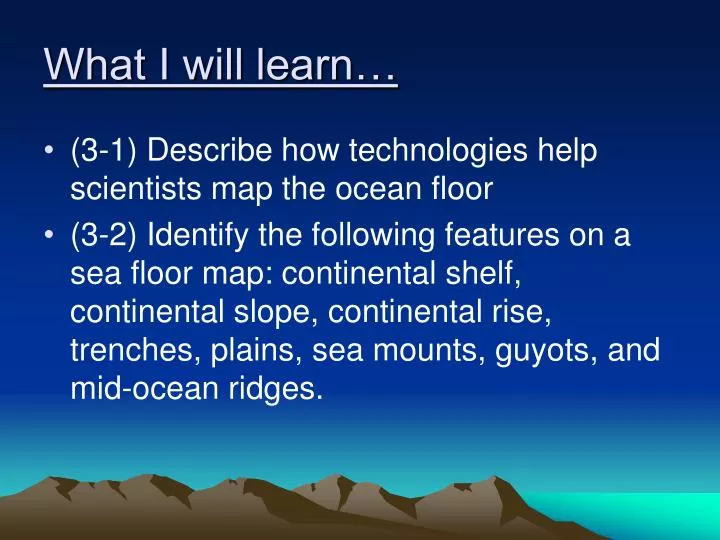
What I will learn…. (3-1) Describe how technologies help scientists map the ocean floor (3-2) Identify the following features on a sea floor map: continental shelf, continental slope, continental rise, trenches, plains, sea mounts, guyots, and mid-ocean ridges. Think About It.

E N D
What I will learn… • (3-1) Describe how technologies help scientists map the ocean floor • (3-2) Identify the following features on a sea floor map: continental shelf, continental slope, continental rise, trenches, plains, sea mounts, guyots, and mid-ocean ridges.
Think About It • At its deepest point, the Puerto Rico Trench in the Atlantic Ocean is 28,231 feet (more than 5 miles deep). Because of the tremendous pressure, it is not possible for humans to personally explore this deep into the ocean.
Key Question • How do scientists know what the bottom of the ocean floor looks like? How do they know how deep the oceans are? • I think… because…
Investigating the Oceans • Earth = Blue Planet • 71% of planet covered with water • 97% of that water is found in oceans • Oceanography = Study of planet’s oceans
Ocean Geography • Four major ocean basins • Atlantic • Pacific – largest and deepest • Indian • Arctic – smallest and most shallow
Tools for measuring the depth of the ocean floor • Sonar • Satellites • Submersibles
Sonar = Sound Navigation and Ranging • Sound waves sent to bottom of ocean • Sound waves reflected back to a receiver • Based on time it takes for wave to be reflected, the distance to ocean floor can be measured
Satellites • Can measure the differences in the sea-surface height by bouncing microwaves off the ocean’s surface • Underwater mountains cause sea surface level to be higher • Canyons & trenches cause sea surface to be lower
Submersibles • Underwater vessel that can be used for deep sea research • Can be manned or unmanned (ROV) • Carry scientific instruments to learn about ocean
The ocean floor is NOT flat! • 3 Major Regions • Continental Margins • Ocean Basin Floor • Mid-Ocean Ridge
A=Continental Shelf= Gently sloping area that extends from the shoreline
B=Continental Slope= Steep slope that marks boundary between continental crust and oceanic crust
C=Deep-Ocean Trench= Deepest part of the ocean; form when one plate moves underneath another plate
D=Mid-Ocean Ridge= Underwater mountain system; sea floor spreads apart; formed new ocean crust
E=Volcanic Island= Seamount that reaches the surface of the ocean
G=Abyssal Plain= flat feature on bottom of ocean floor; most level places on Earth
Cape May, NJ Cape Roca, Portugal
Investigate Part B:Mapping the Ocean Floor Distance Depth
Direction #5 • Color the ocean crust (sea floor) brown • Color the water areas (not the ocean floor) on your graph: • Depth between 0-110 light green • Depth between 110-1100 light blue • Depth between 1100 – ocean floor dark blue
Cape Roca, Portugal Cape Roca, Portugal Azores, Portugal Azores, Portugal Azores, Portugal Azores, Portugal Cape May, NJ Cape May, NJ Cape May, NJ Cape May, NJ Mid Atlantic Ridge Mid Atlantic Ridge Mid Atlantic Ridge
Continental Shelf Gently sloping area that extends from the shoreline Continental Shelf Gently sloping area that extends from the shoreline Continental Shelf Gently sloping area that extends from the shoreline Continental Shelf Gently sloping area that extends from the shoreline Abyssal Plain Deep extremely flat features Abyssal Plain Deep extremely flat features Abyssal Plain Deep extremely flat features Continental Slope Steep slope that marks boundary between continental crust and oceanic crust Continental Slope Steep slope that marks boundary between continental crust and oceanic crust Continental Slope Steep slope that marks boundary between continental crust and oceanic crust Continental Slope Steep slope that marks boundary between continental crust and oceanic crust Seamount Underwater volcanic peaks Seamount Underwater volcanic peaks
Azores, Portugal Cape May, NJ Cape Roca, Portugal Mid Atlantic Ridge
Continental Shelf Gently sloping area that extends from the shoreline Continental Slope Steep slope that marks boundary between continental crust and oceanic crust Seamount Underwater volcanic peaks