Download
1 / 8
80 likes | 92 Views
An absolute navigation system provides vehicle position relative to a coordinate system, using waypoints instead of traditional facilities. This article explores the benefits, requirements, and examples of absolute navigation systems like LORAN C, INS, and GPS.

E N D
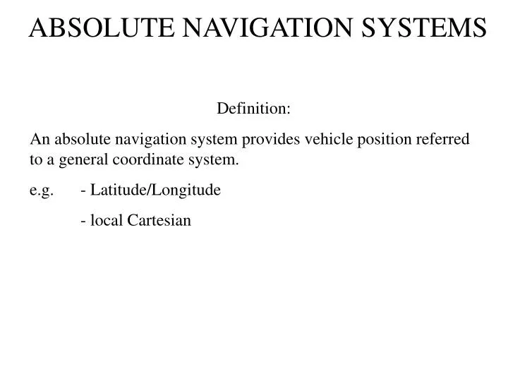
ABSOLUTE NAVIGATION SYSTEMS Definition: An absolute navigation system provides vehicle position referred to a general coordinate system. e.g. - Latitude/Longitude - local Cartesian
ABSOLUTE NAVIGATION SYSTEMS • Waypoints • The straight segments of a route are usually called “legs” • In relative navigation the endpoints of legs are defined by a facility (VOR, NDB, TACAN) • In absolute navigation there are no such facilities and so legs are defined by “waypoints” • A waypoint is simply an imaginary point in space defined in the coordinate system being used • Can be 2 or 3-dimensional)
ABSOLUTE NAVIGATION SYSTEMS • Special Requirements for Absolute Navigation • Accurate survey of ground stations (if used, e.g. LORAN C) • Accurate survey of Airway waypoints • Accurate data base of airway waypoints, facility locationsSize of data base depends on area of operation- updated every 28 daysGood Configuration Control is MandatoryMany opportunities for error
ABSOLUTE NAVIGATION SYSTEMS • Importance of Accurate Data Bases • Mount Erebus
ABSOLUTE NAVIGATION SYSTEMS Importance of Accurate Data Bases Mount Erebus (Antarctica)
ABSOLUTE NAVIGATION SYSTEMS Importance of Accurate Data Bases Mount Erebus (Antarctica)
ABSOLUTE NAVIGATION SYSTEMS • Advantages • Unlimited freedom to define airway structures • Fewer ground-base facilities – less cost • Greater flexibility for flight-planning but greater complexity for ATC (Air Traffic Control)
ABSOLUTE NAVIGATION SYSTEMS • Absolute Navigation Systems in Use Today • LORAN C • INS (Inertial Navigation) • GPS (Global Positioning System) • Multi-DME,