Download
1 / 15
150 likes | 206 Views
Exploring how Extratropical Transition impacts poleward Rossby wave breaking dynamics. Satellite imagery and data analysis reveal key interactions and connections.

E N D
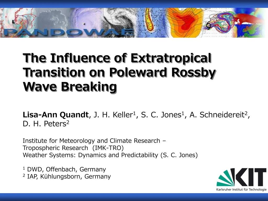
The Influence of Extratropical Transition on Poleward Rossby Wave Breaking Lisa-Ann Quandt, J. H. Keller1, S. C. Jones1, A. Schneidereit2, D. H. Peters2 Institute for Meteorology and Climate Research – Tropospheric Research (IMK-TRO) Weather Systems: Dynamics and Predictability (S. C. Jones) 1 DWD, Offenbach, Germany 2 IAP, Kühlungsborn, Germany
1. Motivation Extratropical Transition (ET)(Jones et al., 2003, Klein et al., 2000, ...) • former Tropical Cyclone (TC) moves to the North • new environment • new storm characteristics (Frontogenesis) At upper levels: Interaction between the former TC and the Jet Stream (Davis et al., 2008) ET System supports upper level Diffluence. Satellite images: www.nasa.gov/vision/earth/environment/2006ams_cyclone.html
Rossby Wave Breaking (RWB) Idealized picture of asymmetric RWB events in a horizontal plane indicated by potantial vorticity (black lines): cyclonically sheared waves breaking predominatly in poleward (P1) or equatorward (LC2) direction, and anticyclonically sheared waves breaking predominantly in poleward (P2) or equatorward (LC1) direction; black arrows: westerly jet with horizontal shear; dashed lines: geopotential of a basic flow; and white arrows: meridional eddy fluxes down the gradient of the westerly jet. [Gabriel & Peters, 2008] Diffluent Flow is required for P2 RWB.
Hypothesis Diffluent Flow Extratropical Transition P2 Rossby Wave Breaking Diffluent Flow Is there a connection between ET and P2 RWB?
2. Approach Ensemble forecasts of ECMWF Empirical Orthogonal Function Analysis Fuzzy Clustering Largest variability? Different scenarios? Suitable forecasts? • Can we observe a RWB event during ET? Subsequent Blocking? • How to quantify that observation? Wave Activity Flux (WAF)
3. Results of Hurricane Noel (2007) EOF Analysis Initialisation time: 10-31-2007 12 UTC Shown Quantities: Potential Temperature @ 2 PVU (shaded) and EOFs (red lines)
Comparison (with/without ET of Noel) Initialisation time: 10-31-2007 12 UTC Shown Quantities: Potential Temperature @ 2 PVU (shaded) and SLP (blue lines) With ET Without ET
108 h 156 h With ET Without ET 192 h
Wave Activity Flux (Takaya & Nakamura, 1997) Shown Quantities: PV @ 320 K (shaded), Geopotential Height @ 1000 hPa (black lines) & RWB-P2 (blue dotted lines) 11-05-2007 Figure: made by Andrea Schneidereit
4. Results of Hurricane Jeanne (2004) Initialisation time: 09-20-2004 00 UTC Shown Quantities: Potential Temperature @ 2 PVU (shaded) SLP (blue lines) on the left and Wind Velocity with Wind Vectors @ 200 hPa on the right 108 h Case with ET 156 h
5. Observed Interactions Poleward anticyclonic RWB (P2) Ridge Interaction Poleward cyclonic RWB (P1) Suppressed equatorward anticyclonic RWB (LC1) Trough Interaction with ET without ET
6. Conclusion Diffluent Flow Extratropical Transition P2 Rossby Wave Breaking Diffluent Flow Is there a connection between ET and P2 RWB?
6. Conclusion Diffluent Flow Extratropical Transition Yes, it seems that ET may influence RWB! P2 Rossby Wave Breaking Diffluent Flow Is there a connection between ET and P2 RWB?
7. Summary • Research Question: • Does ET influence poleward RWB? • Approach: • Comparison of cases with and without ET • Data: Ensemble forecasts (ECMWF) • EOF Analysis + Fuzzy Clustering • WAF • Results: • observed influence of ET on RWB • interaction dependent on phasing • importance of generation of upper level vortex
7. Summary • Research Question: • Does ET influence poleward RWB? • Approach: • Comparison of cases with and without ET • Data: Ensemble forecasts (ECMWF) • EOF Analysis + Fuzzy Clustering • WAF • Results: • observed influence of ET on RWB • interaction dependent on phasing • importance of generation of upper level vortex Thanks for your Attention! Questions?