Download
1 / 6
60 likes | 129 Views
Explore the erosion process on Pt. Dume Peninsula through a topographical map analysis, re-creation of terrain, and erosion simulation methods. Code included for further study.

E N D
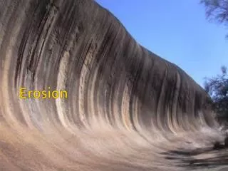
The Erosion of Pt. Dume MaxtrillionKyman EPS 109
Contour Map of Region Grid: 2000 x 2000 ft
Methods • I used a topographical map to find the elevation at several points on the peninsula in addition to finding the approximate dimensions. • I re-created the terrain using a combination of different methods that formed hills, plateaus, and cliffs. • I utilized the erosion code from lab to erode the peninsula.
Run code with the “PtDumeErosion,” supplemented by “calculate_collection_area2” and “initial_conditions_add_hill.”