Download
1 / 9

E N D
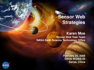
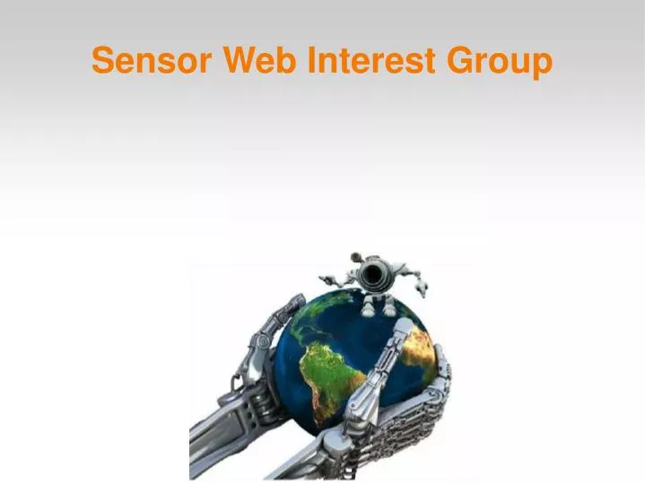
The Sensor Web outlines an advanced spatial data infrastructure that extends standard spatial data infrastructures by incorporating targeted observations through dynamic tasking and feedback to adapt autonomous operations. The use of sensor web improves resource use and reuse, reduces cost, allows for adaptive observation, and improved spatial and temporal resolutions as a result of data fusion. Description
Purpose • Coordinate WGISS-member activities supporting sensor web tasks within GEOSS and CEOS. • Identify WGISS inter-agency and inter-technology collaboration opportunities. • Provide feedback to standards bodies.
Interests • Sensor Web Technologies • Sensor Networks • Relations to Other Technologies e.g. GRID • Sensor Web Applications • Applicability to Virtual Constellations • Applicability to CAL/VAL • Sensor Web Standards • ...
Members • BNSC (UK) • JAXA (Japan) • Meraka Institute (South Africa) • NASA (USA) • NSAU (Ukraine) • USGS (USA)
Agenda • [8:30] GEOSS Vision for Sensor Web • Terence van Zyl • [8:42] Scope of Sensor Web: Use Case • Karen Moe • [8:54] Fire Scenario, E-Science Workflows • Anwar Vahed • [9:06] Sensor Web and GRID Technical Issues • Natalia Kussul
Agenda • [9:18] Sensor Web Standards ISO TC 211 • Liping Di • [9:30] Atmospheric Composition Interest Group • Stephen Falk • [10:30] BREAK • [10:45] Flood Monitoring Sensor Web Prototype • Wyn, Natalia Kussul, Dan Mandl • [12:00] Lunch • [13:00] Flood Monitoring Sensor Web Prototype
Agenda • [14:00] Discussion Break Out Groups • [15:30] BREAK • [15:45] Joint Group Discussion • [16:30] Sensor Web Interest Group Summary • [17:00] WGISS Discussion and Recommendation to Plenary
Break Out • Group 1 • Stays Here • Group 2 FLOOD • Board Room 3131 3rd Floor Signs • Group 3 AIR QUALITY FIRE • Board Room 2503 2nd Floor Right