Download
1 / 16
160 likes | 210 Views
This study by UTMSI and TXCEQ uses GIS and time series data to analyze seagrass distribution factors. Findings show light and depth impact seagrass beds. More research is needed on seagrass beds between 1-1.5m. Decline in cover may relate to rainfall.

E N D
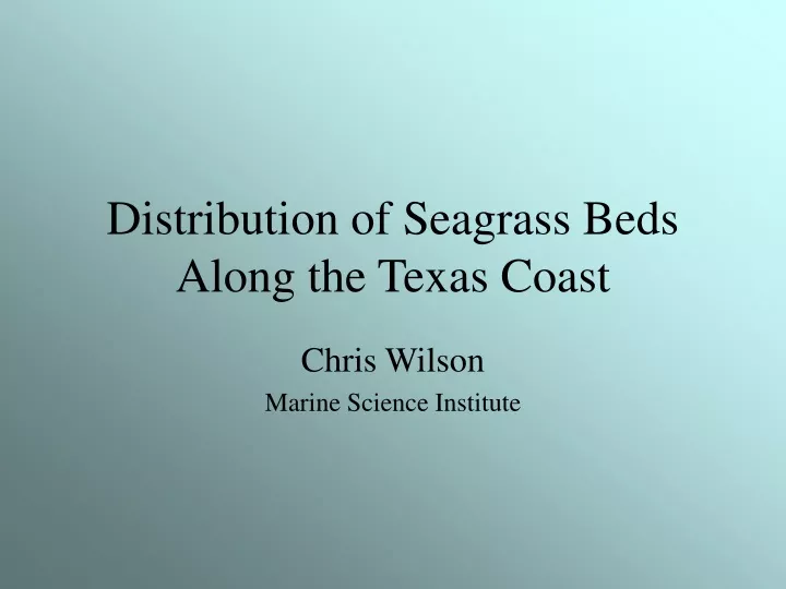
Distribution of Seagrass Beds Along the Texas Coast Chris Wilson Marine Science Institute
Introduction • Who – UTMSI and TXCEQ • Goal – Determine the factors controlling seagrass distributions along the TX coast • How- Use of GIS and Time Series Data
Seagrass Cover and Location • Red = 0% Cover • Orange < 50% Cover • Green > 50% Cover
Conclusions • Light and depth affect the distribution of seagrass beds • More work needs to be focused on seagrass beds between 1 and 1.5m in depth • Decline in seagrass cover may have been attributed to rainfall, but more data is needed
References • http://jrscience.wcp.muohio.edu/FieldCourses00/MarineEcologyArticles/SeagrassEcosystems.html • http://www.srh.noaa.gov/crp/climate/crpf-6.html