Download
1 / 20
200 likes | 356 Views
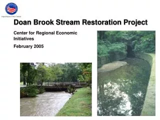
Indian Brook Stream Geomorphic Assesment Phase I Protocol. Essex and Colchester, Vermont Danica Lefever April 29, 2005. Malletts Bay. Colchester. Essex. Watershed Overview. Essex Junction. 6.3% impervious cover 30.6 sq. km.

E N D
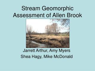
Indian BrookStream Geomorphic AssesmentPhase I Protocol Essex and Colchester, Vermont Danica Lefever April 29, 2005
Malletts Bay Colchester Essex Watershed Overview Essex Junction
6.3% impervious cover • 30.6 sq. km. • Approximately half of total watershed designated as impaired Essex Jct. between Educational Dr. and Rt. 15 Essex – Upstream of Susie Wilson Rd.
Impaired portion of watershed Essex Landfill Impaired portion http://www.anr.state.vt.us/dec/waterq/stormwater/images/sw_indianmap.gif
Colchester Stormwater Sewers • Very minimal stormwater outfall impacts in Colchester • Relatively wide buffer in Reaches 1-6
Essex and Essex Junction Stormwater Sewer Lines Lang Farms Golf Course New Condos
Reference ConditionsStep 2 Indian Brook Reservoir
Reach 2 Reach 1
Landcover/LanduseStep 4 Not anymore! Indian Brook Reservoir Hmmmm?
Indian Brook Park • LU 17 – Outdoor and other urban and built-up land • SGAT classified it as Urban
Reaches 13 and 14 • Hard to classify from the aerials • Reaches 16 and 17 • Very easy to see they aren’t urban
Impoundment • Mill Pond Road • Indian Brook Reservoir
Essex Junction Straightening RIT
Bank Armoring • Broad Valley • Near Bike Path bridge • Steep bank • Between two culverts • Behind Essex High School Reach 11 Reach 3
Summary Conditions • Phase 1 • Aerials • LC/LU • RIT • Age of data • Impacted Reaches • Partly impaired • Usefulness of Phase I data • Reach 11 Reach 2