Download
1 / 19
200 likes | 338 Views
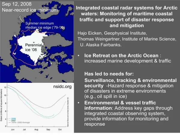
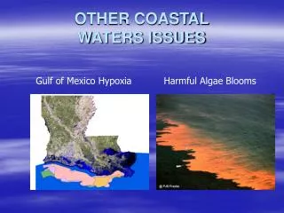
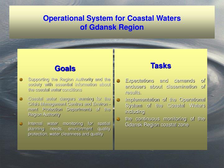
Goals Supporting the Region Authority and the society with essential information about the coastal water conditions Coastal water dangers warning for the Crisis Management Centres and Environ - ment Protection Departments of the Region Authority

E N D
Goals Supporting the Region Authority and the society with essential information about the coastal water conditions Coastal water dangers warning for the Crisis Management Centres and Environ - ment Protection Departments of the Region Authority Internal water monitoring for spatial planning needs, environment quality protection, water cleanness and quality Tasks Expectations and demands of endusers about dissemination of results. Implementation of the Operational System of the Coastal Waters including the continuous monitoring of the Gdansk Region coastal zone Operational System for Coastal Waters of Gdansk Region
Operational System for Coastal Waters of Gdańsk Region Network of sea level river discharges chemical and biological stations Remote Sensing Monitoring Operational observations BOOS Meteorological forecasts UMPL Model ICM Hydrodynamic model M3D Observations and hydrological forecasts IMWM ProDeMO ecosystem model
Development of the ecohydrodynamic modelPprocesses included in the ProDeMo: 1) nutrient uptake by phytoplankton, 2) phytoplankton grazing by zooplankton, 3) phytoplankton respiration, 4) phytoplankton decay, 5) sedimentation, 6) nutrients release from sediment, 7) atmospheric deposition, 8) denitrification, 9) mineralisation, 10) zooplankton respiration, 11) sedimentation of phosphorus adsorbed on particles,12) detritus sedimentation,13) zooplankton decay14) nitrogen fixation15) nutrient deposition.influenced the dissolved oxygen: 16) reaeration, 17) flux to atmosphere due to the over saturated conditions, 18) zooplankton respiration, 19) phytoplankton respiration, 20) assimilation, 21) mineralisation, 22) nitrification, 23 ) denitrification
Validation of the ProDeMo model
Spatial distribution of the nutrients – June 1999
Distribution of phytoplankton Spatial (June 1999)
Net establishing of the sea level measurement stationsat the eastern part of the Polish coast Institute of Oceanography Gdańsk University
The sattelite monitoring HRPT Raw AVHRR data Data base of raw data ASDIK System of Automatic Registration, Geometric and Geographic Correction of AVHRR Data Data base of product PRODUCTS Quicklooks & UTM maps of: SST, Brightens temperature, Albedo, cloudiness WWW interface
THANK YOU FOR YOUR ATTENTION Contact: Dr Jan Jędrasik janj@sat.ocean.univ.gda.pl Tel: +48 (0)58 6601655