Download
1 / 14
140 likes | 155 Views
Design a self-created map of Mesopotamia, the land between the Tigris and Euphrates rivers, known as the Fertile Crescent. Discover the geography, topography, and features of this ancient civilization, including the Zagros Mountains, marshy areas, and annual rainfall details.

E N D
All Maps You Create Must Have… • A Title • A Compass Rose • A legend
The Only Items on your desk should be • Note taking materials (pencil, paper) • Self createed map of Mesopotamia
Fertile Crescent • Crescent shaped region containing moist and fertile land • Often called the cradle of civilization • Saw the development of some of the earliest human civilizations
Mesopotamia • Land between the rivers • The Tigris and Euphrates rivers often flooded during the spring • The floods left a very fertile mud called silt • Flat swampy region
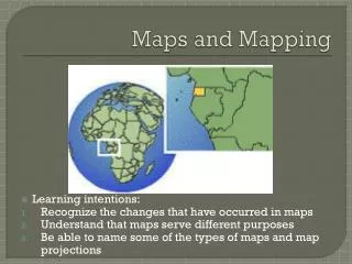
Absolute Location • 33.7 ‘N, 43.5’ E • What makes the location ideal?
Northern Mesopotamia • Hills • Plains • Fertile land due to seasonal rains • Streams flow from Zagros Mountains • Many raw materials • Timber • Metals • Stone
Southern Mesopotamia • Marshy areas • Dry plains • Tigris River • Fast flowing • Euphrates River • Easily navigable • Farmers learned to control the flooding • Used to irrigate fields