Download
1 / 6
60 likes | 82 Views
Run high time resolution forward trajectories using NAMF12 forecast data from the Workshop archive. Configure trajectories to output every 5 minutes and display results in Google Earth. Explore the remarkable landscape of the Colorado River basin with 1-hour trajectories displayed in kmz format.

E N D
Configure 1 hour forward trajectories with output every 5 minutes and display in Google Earth (kmz). Example 9High Time Resolution with Google Earth
Run high time resolution forward trajectories with NAMF12 forecast data from the Workshop archive.
Choose Source Location Enter a starting location at: 36.231N and 112.33599W
Total run time: 1 hour Starting heights: 100 m AGL, 500 m AGL, 1000 m AGL GIS output: Google Earth
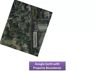
HYSPLITtrajcanyon.kmz Google Earth results showing the 1 hour trajectories climbing out of the remarkable landscape of the Colorado River basin. The 5 minute endpoints are indicated by the colored spheres along the trajectory. It can be verified from the trajectory endpoints file that the output is at 5 minute intervals when running a 1 hour or less duration trajectory (default using HYSPLIT-WEB).