Download
1 / 7
80 likes | 98 Views
Explore the formation, causes, and prediction of tornadoes and hurricanes through the lens of thermodynamics. Discover the impact of Coriolis Force, air and water factors, Carnot Cycle modeling, and more in this in-depth analysis. Learn about the challenges of predicting these natural disasters and the potential for future technologies to enhance forecasting accuracy.

E N D
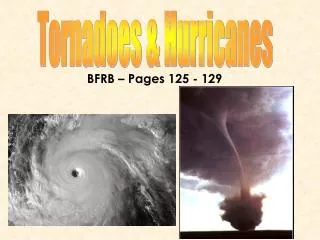
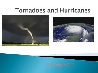
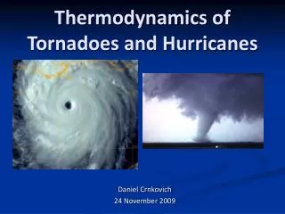
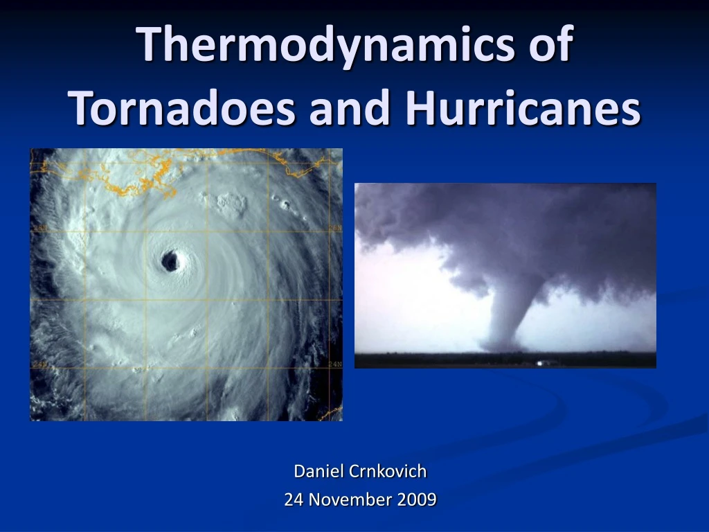
Thermodynamics of Tornadoes and Hurricanes Daniel Crnkovich 24 November 2009
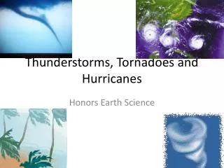
Tornadoes and Hurricanes • Tornadoes • Form over land • If a tornado forms over water it becomes a cyclone • Damage due to wind • Scaled from F0 – F5 (Fujita Scale) • Hurricanes • Form over water • Starts a tropical depression or storm • Damage due to water • Scaled from 1 – 5 (Simpson Scale) • Both are hard to predict and cause extensive damage
Causes of Hurricanes and Tornadoes • Coriolis Force • Inertial force of the Earth • Angular Momentum • Air factors • Temperature difference • Pressure difference • Water factors • Temperature difference • Colliding pressure fronts
Hurricanes modeled by the Carnot Cycle Isothermal expansion (3-4) Formation of eye Increase in entropy Driving force of storm Adiabatic expansion (3-4) Air rises to top of eye wall Lower P and T Isothermal compression (4-1) Cloudy air travels to edge of hurricane (about 200 miles) Decrease in entropy Adiabatic compression (1-2) Return to original state Thermodynamics of a Hurricane
Warm and moist air mass Lead eastward-moving cold fronts Common in the spring No thermodynamic model has been found for tornadoes Often influenced by particle charges differences Physics based Thermodynamics of a Tornado
Predicting Hurricanes and Tornadoes • Hurricanes take time to form • Succession of tropical depression, storm, strengthening • Weaken due to land • Once formed, predicting the path can be difficult • Tornadoes form quickly • Super-cell thunderstorms • “Tornado alley” • Warm and moist air masses followed by cold fronts • Future technologies may help in predictions
Questions? Photos courtesy: google.com; NASA; NOAA Sources: NASA; NOAA; auf.asn.au; charles-chandler.org/Geophysics/Tornadoes Full.php