Download
1 / 31
310 likes | 323 Views
This presentation by Andrea Stahman Burden and Steven Gonzales provides information on the El Camino Real de los Tejas National Historic Trail, its significance, and its implications for cultural resource management in Eagle Ford Shale Country.

E N D
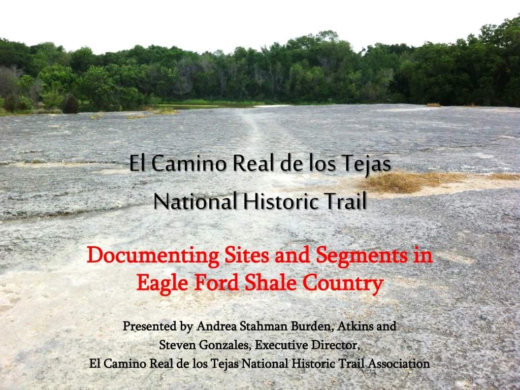
El Camino Real de los TejasNational Historic Trail Documenting Sites and Segments in Eagle Ford Shale Country Presented by Andrea Stahman Burden, Atkins and Steven Gonzales, Executive Director, El Camino Real de los Tejas National Historic Trail Association
What is a National Historic Trail? The National Trails System Act states in Sec. 3 (a)(3) that, “National historic trails … will be extended trails which follow as closely as possible and practicable the original trails or routes of travel of national historic significance.”
What is Nationally Significant about NHTs? • To qualify for designation as a national historic trail, a trail must be, among other things, of national significance with respect to any of several broad facets of American history, such as trade and commerce, exploration, migration and settlement, or military campaigns. • To qualify as nationally significant, historic use of the trail must have had a far reaching effect on broad patterns of American culture. Trails significant in the history of Native Americans may be included.
National Historic Trail Designation Does • Promote preservation • Provide for public access Does Not • Make all portions of the trail automatically eligible for the National Register of Historic Places.
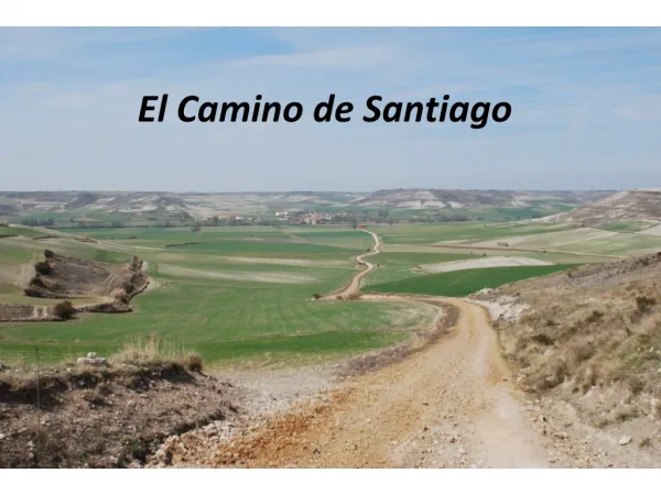
What does the National Trails System Act say about El Camino Real? Sec. 5 (a)(24)(A) in regard to El Camino Real de los Tejas states, “IN GENERAL - El Camino Real de los Tejas (the Royal Road [of] the Tejas) National Historic Trail, [is] a combination of historic routes (including the Old San Antonio Road) totaling approximately 2,580 miles, extending from the Río Grande near Eagle Pass and Laredo, Texas, to Natchitoches, Louisiana.”
What does that mean for CRM compliance? • There are many segments and sites along the trail that have been identified by the NPS and these locations are noted in the EA. • The trail itself serves as an HPA for the purpose of identifying cultural resources. • Any newly recorded sites along this route associated with the trail may be eligible for the NRHP under Criteria A in addition to other criteria.
Survey Opportunities Well Pads Pipelines
Documenting Trail Segments or Sites Identify through desktop review Ground truth through survey
Desktop Review • Request access to GIS files from NPS on this and other National Historic Trails in the US. • Segments of the trail not yet ground-truthed are now accessible via desktop to be incorporated into your records review with minimal effort.
Ground Truthing the Trail A little help from technology…
Ground Truthing the Trail Segments • River Crossings • Swales • Concentrations of Artifacts Sites • Historic sites (including aboriginal) along suspected portions of the trail dating between 1680 and 1845, especially those near perennial water sources and those that include human graves.
In Conclusion • Awareness of the El Camino Real de los Tejas National Historic Trail is pertinent to our work in identifying cultural resources. • The Trail is a resource in itself and also qualifies as HPA for other cultural sites that may be eligible for the National Register of Historic Places. • Opportunities for ground truthing parts of the trail within Eagle Ford Shale Country exist through CR compliance and due diligence work for well pads and pipelines. • There is an urgent need for such documentation due to ongoing and accelerated energy development in the Eagle Ford Shale.
For More Info Go to: http://www.nps.gov/elte/index.htm http://elcaminorealdelostejas.org/ http://imgis.nps.gov/ArcGIS/rest/services/NHT/NHT/MapServer
Special Thanks to: Steven Gonzales Krista McClanahan Dale Norton Jeff Williams