Download
1 / 12
120 likes | 284 Views
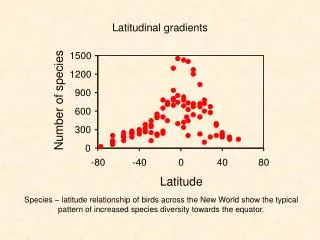
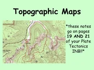
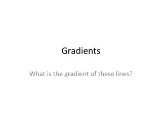
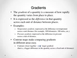
Topographic Gradients. Gradient. The gradient is the change in field value divided by the change in distance. Gradient. Between 3641 ft. & 3659 ft. Step 1: Identify the field values. Between 1201 ft. & 1239 ft. Gradient. 3647 ft. Between 3641 ft. & 3659 ft.

E N D
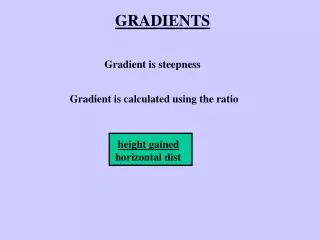
Gradient The gradient is the change in field value divided by the change in distance.
Gradient Between 3641 ft. & 3659 ft. Step 1: Identify the field values. Between 1201 ft. & 1239 ft.
Gradient 3647 ft. Between 3641 ft. & 3659 ft. Step 1: Identify the field values. 1209 ft. Between 1201 ft. & 1239 ft. The values can be inferred from the contour lines.
Gradient 0 0.5 0.5 Mile Step 2: Determine the distance using the map scale.
Gradient 0 0.5 0.5 Mile Step 2: Determine the distance using the map scale. 0.5 Miles
Gradient 0 0.5 0.5 Mile Step 2: Determine the distance using the map scale. 0.5 Miles 0.5 Miles 0.5 Miles
Gradient 0 0.5 0.5 Mile Step 2: Determine the distance using the map scale. 0.5 Miles 0.5 Miles
Gradient 0 0.5 0.5 Mile Horizontal Distance = 1.5 Miles 0.5 Miles Step 2: Determine the distance using the map scale. 0.5 Miles 0.5 Miles 0.5 Miles 0.5 Miles 0.5 Miles
Gradient 1209 ft. 1209 ft. 3647 ft. 3647 ft. 0 0.5 0.5 Mile Horizontal Distance = 1.5 Miles
Gradient Change in Field Value Gradient = Distance - = = 1625.3 ft/mi 1209 ft. 3647 ft. Horizontal Distance = 1.5 Miles Step 3: Place the values into the formula. 1.5 Miles Step 4: Run the math.
Gradient The gradient is the change in field value divided by the change in distance. Step 1: Identify the field values. Step 2: Determine the distance using the map scale. Step 3: Place the values into the formula. Step 4: Run the math.