Download
1 / 12
120 likes | 205 Views
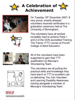
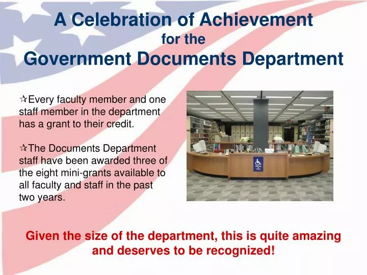
A Celebration of Achievement for the Government Documents Department. Every faculty member and one staff member in the department has a grant to their credit.

E N D
A Celebration of Achievement for the Government Documents Department • Every faculty member and one staff member in the department has a grant to their credit. • The Documents Department staff have been awarded three of the eight mini-grants available to all faculty and staff in the past two years. Given the size of the department, this is quite amazing and deserves to be recognized!
Developing an Online GIS Interface for the Topographic Map Collection The goal of the “Topo Index Web-GIS Interface” mini-grant is to increase patron accessibility to the Map & Imagery Library materials by constructing an online, user-friendly GIS interface for topographic maps in the collection. Grant Team: Jennifer Farrington Hesham Monsef Ken Solomon Kenny Herniman Jorge Gonzales Library Mini-Grant 2007-2008
Why Topo Index Web-GIS Interface is Important • Up-to-date, accurate and reliable information for Map & Imagery Library’s topographic map collection will be available online for remote and local users. • To assist in collection management by reducing the effort and time required to determine map coverage for a specific area, thereby promoting better use of Map Library resources. • All map data will be integrated into a single shared, distributed database. Library Mini-Grant 2007-2008
Why Topo Index Web-GIS Interface is Important • To facilitate communication between the Map Librarian and faculty from other departments to determine what data is required by researchers for their current and future projects. • To provide better service to all of our remote users, whether they are on campus, elsewhere in Florida, or even other states. • The interface will be linked to the library catalog and provide more information to our users in the format they desire. Library Mini-Grant 2007-2008
Accessing our Cartographic Past To increase access to the Map & Imagery Library’s collection of antique maps with the creation of accurate and complete catalog records. To provide training and resources for library staff to continue cataloging antique maps. P.I. – Carol McAuliffe Library Mini-Grant 2006-2007
Let's Talk About It: Jewish Literature Grants Awarded by ALA and Nextbook Chelsea Dinsmore, Documents Department In collaboration with Dr. Andrew Gordon, UF English Department With the support of Hillel at UF, UF Center for Jewish Studies, and the Alachua County Public Library District A Mind of Her Own: Fathers and Daughters in a Changing World (2006) Demons, Golems, and Dybbuks: Monsters of the Jewish Imagination (2008) Modern Marvels: Jewish Adventures in the Graphic Novel (2009)
Digitizing Hansard's British Parliamentary Debates2nd Series (1820-1830, 25 volumes) Chelsea Dinsmore (P.I.) and Christy Shorey The Debates are records of what is said in Parliament, and are published in series. These series are roughly equivalent to the U.S.'s Congressional Record. The debate series can be divided into three eras, according to what's covered and how the debates are recorded and published. The debates are further divided into different series, depending on who published them. Library Mini-Grant 2007-2008
From the Air: Creating a GIS and Web Interface to Historical Aerial Photography A Collaborative preservation, distribution and education LSTA grants led by UF’s Digital Library Center and supported by the Documents Department, Systems, and FCLA. 1943 1990 1970 Federal Library Services and Technology Act Grant
2 Library Services and Technology Act (LSTA) grants 2002-2004 • 160,000+ Well Used and Aging SCS and DOT Aerial Photographs • Freely Used State-Wide by Faculty, Staff, Students, Public, and Private Consultants • Created an archival copy of UF’s historical aerial photography Collection • Created a Web-based, spatially referenced index to the collection. • Provides Remote Access to Digital Air Photos Federal Library Services and Technology Act Grant
Project Management: Tom Minton Jan Swanbeck GIS Design & Programming: Joe Aufmuth Aleta Mitchell-Tapping Tom Minton Site Design & HTML Coding: Trish Ruwell Jody HewittPaige Harper Laura SeijoGurpreet SinghTom Minton This website is an effort of the Government Documents Department to provide indexing of and access to government information on the World Wide Web.http://www.uflib.ufl.edu/fefdl/ Federal Library Services and Technology Act grant by the Florida State Library
Congratulations! Bravo to all grant recipients and committee members for a job well done!
Thank you to the Employee Recognition Committeefor recognizing excellence and celebrating accomplishments at the Libraries. Betsy Simpson (Chair) Paul Lightcap Peter McKay Barbara Gundersen Laurie Brennan Ben Walker Lourdes Santamaria-Wheeler Debra Fetzer Brian Keith Barbara Hood