Download
1 / 18
180 likes | 190 Views
This presentation discusses the use of ArcMap Spatial Analyst to plan the reclamation of an abandoned open pit. The focus is on modeling a coal mining pit in Centre County, Pennsylvania and comparing different volume calculations. The presentation also highlights the steps involved in properly designing backfilling and reclamation.

E N D
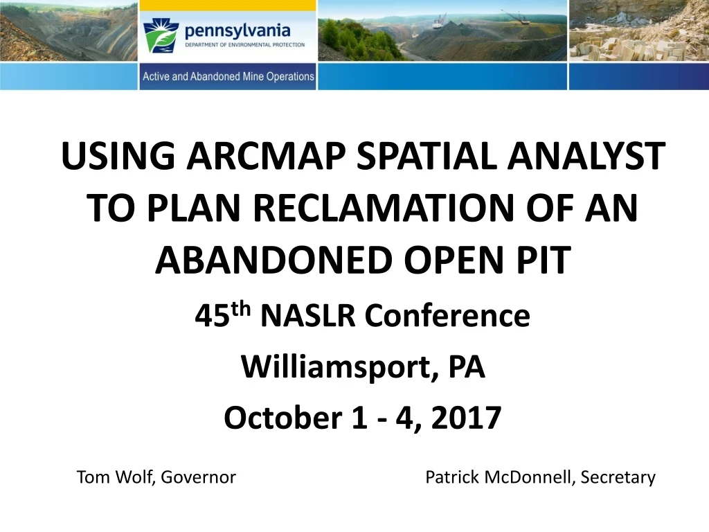
USING ARCMAP SPATIAL ANALYSTTO PLAN RECLAMATION OF ANABANDONED OPEN PIT 45th NASLR Conference Williamsport, PA October 1 - 4, 2017 Tom Wolf, Governor Patrick McDonnell, Secretary
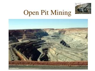
INTRODUCTION • Christine Iksic’s presentation focused on modeling an abandoned coal mining pit in Centre County, Pennsylvania (Ellis Operation). • I selected this pit because it has not changed since PAMAP LiDAR data was collected in 2006. • Ms. Iksic used a drone to snap high-resolution aerial images, an accurate GPS unit to tie down spot elevations, and Datumate software to process and model the surface.
INTRODUCTION (continued) • She compared the volume of the pit void (up to a surface elevation of 1750’ MSL) as calculated using the drone technology with the volume as calculated using the PAMAP digital elevation model (DEM), assuming that the PAMAP modeling is relatively accurate. • Her comparison resulted in a lower volume of pit void (7.6% lower) using Datumate modeling as compared to the PAMAP LiDAR DEM modeling. We are still examining the data.
INTRODUCTION (continued) • RES Coal, LLC (RES) and the DEP will soon partner to accomplish reclamation of the Ellis abandoned pit. • RES has not yet submitted their proposed mining and reclamation plan. • RES plans additional mining beyond the current highwall (beyond just half of the pit). • The following presentation assumes that backfilling must be accomplished with no additional mining.
INTRODUCTION (continued) To properly design backfilling and reclamation of an abandoned pit you must: • Establish the reclamation area boundary. • Then create a postmining surface that… • blends with the surrounding topography. • maintains positive drainage (no depressions where runoff will accumulate). • balances the volume of material that is ‘cut’ with the volume of ‘void’ needed to fill the final surface.
INTRODUCTION (continued) • Because no unmined rock will be excavated, we do not have to account for ‘spoil swell’. • There are other software packages that are probably better suited for this analysis. But I will demonstrate how to plan backfilling using ESRI ArcMap and its Spatial Analyst extension. • Unless a very precise final surface is required, ArcMap should be sufficient for most reclamation companies to achieve this goal.
Older backfilled mine (spoil) Older backfilled mine (spoil) Older backfilled mine (spoil) PAMAP’s 1750’ elevation boundary in yellow. Pit advance Abandoned open pit on Lower And Middle Kittanning coal seams. Reclamation boundary in pink.
Bulk of spoil from open cut. Hillshade view of pit and reclamation area Current ‘natural’ drainage paths Pit and reclamation area must have an existing (pre-reclamation) surface modeled. Use existing DEM (such as PAMAP) if area hasn’t changed since. Otherwise, you must survey area (such as by drone imagery and processing).
Proposed final surface contours are created for pit reclamation – must match adjacent contours. Positive drainage over and beyond the reclamation area is maintained.
First, complete your digitizing of the post-mining contours with elevation attributes. As noted, contours must match adjacent surface contours. Using Spatial Analyst “Cut Fill”: input EXISTING reclamation area surface as the ‘before surface’ and the PLANNED postmining surface as the ‘after surface’…create cut-fill layer. If there is NOT a good balance between the cut and fill volumes, go back and adjust the postmining contour lines and recreate the postmining surface…repeat process. Cut area is provided as POSITIVE volumes in the table. Fill area is provided as NEGATIVE volumes in the table. Add up the largest volumes of Cut and Fill and compare totals. Note that if new mining is to be conducted to help fill the pits (not just old spoil), you must account for spoil swell (30% plus or minus). Using Spatial Analyst “Topo to Raster”: add postmining contours as surface input and reclamation area as the boundary…create surface. It might be easiest to adjust contour line elevations slightly until cut and fill volumes are close, and then adjust the contour line positions to fit the adjacent surface. Proposed surface is created using Spatial Analyst ‘Topo to Raster’.
This is the ‘finalized’ Cut & Fill layer that was created to compare volumes of our post-reclamation surface with the existing surface. Cut volume (pink): +760,000 cu. yds. Fill volume (blue): -764,000 cu. yds. (close enough)
-764,000 +760,000 This is the Cut & Fill attribute table with the greatest volumes displayed.
A A’ Greatest cut area Greatest fill area
White – all FILL Cutting down more than 30 feet of spoil ‘Trimming’ down of older spoil piles
NE ArcScene Snapshot: Planned final surface in green. Pre-reclamation surface gray. Main fill area Main cut area ‘Older’ spoil piles cut down
Final reclamation surface. Ready to start planting!
VOLUME MK OVERBURDEN TO BE EXCAVATED: 1.126 M CYDS VOLUME MK OVERBURDEN PLUS 25% SWELL: 1.408 M CYDS VOLUME TO FILL MINE AREA TO NEW REC SURFACE: 0.810 M CYDS VOLUME TO FILL OLD PIT UP TO 1750’ ELEVATION: 0.315 M CYDS CUT-FILL VOLUMES ARE SAME WITHOUT SWELL BUT SWELL FACTOR OF 25% ADDS 0.283 M CYDS EXCESS Supposing MK coal seam at 1750’ and mining is proposed as shown beyond the LK highwall. AREA OF PLANNED MIDDLE KITTANNING COAL MINING (COAL AT 1750’ ELEVATION). ALL CONTOURS SHOWN ARE PRE-MINING. PLANNED RECLAMATION SURFACE CONTOURS - DROPPING DOWN TO PIT THAT IS FILLED UP TO 1750’ IN ELEVATION.
THANK YOU! ANY QUESTIONS? Scott L. Barnes, P.G.PA-DEP, District Mining OperationsMoshannon District Mining Office814-342-8114scbarnes@pa.gov