Download
1 / 51
510 likes | 571 Views
Learn about a sustainable community plan to revitalize downtown Pontiac, address transportation challenges, and enhance livability. Explore proposed roadway improvements, pedestrian safety initiatives, and long-term development strategies.

E N D
Public Safety Housing Revenues Schools Environment Transportation Jobs Services Recreation Pontiac’s Challenges Transportation Connectivity
Background: • Oakland County Planning & Economic Development Services (OCPEDS), in partnership with the City of Pontiac, applied for and was awarded a Sustainable Communities Challenge Grant in October, 2010. • The grant provides $300,000 to develop a plan to address livability and connectivity in downtown Pontiac and surrounding neighborhoods. • OCPEDS manages the project and provides $104,000 in in-kind match to the project, consisting of professional planning staff time. • RFP for consultant services issued in May 2011 and consultant interviews held in July 2011. • Parsons Brinckerhoff Team selected in August 2011.
HURON SAGINAW 1940
Downtown Pontiac Book 1April 18, 1962 bottleneck of Downtown super shopping center diverting traffic around the hard core of Downtown, 155,000 vehicles a day by 1980.
Land acquired River enclosed Buildings torn down Loop built Neighborhoods cut off from their downtown 25,000 residents lost 30,000 jobs lost 1940
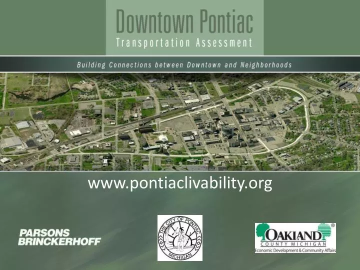
Downtown Pontiac Transportation AssessmentBuilding Connections between Downtown and Neighborhoods Everywhere butPontiac
The purpose of this study to find the best ways to better connect downtown, neighborhoods and the broader community by readapting the Woodward Loop and improving the street, sidewalk and bike path system. Project Purpose
It can’t do it all, but… what it can do It is envisioned that improving this network will improve livability and the long term economic health of the downtown and surrounding neighborhoods.
Major Components 1Previous Studies and Reports 2Current and Future Traffic Conditions 3Stakeholder Input, Ideas and Concerns 4Plan and Recommendations
What is important to you? 79 5 38 18 81 3 77 4 73 4 70 2
What do you think of the ideas below? 23 51 53 22 36 18 66 9 69 8 51 16 69 6 62 8
Stakeholder Input Make it easier and safer for pedestrians to cross Improve sidewalks and bike paths Better connect the neighborhoods and downtown Improve transit Convert the Loop to two-way traffic Connect Saginaw to the Loop Drivers have a hard time navigating into and out of downtown The loop serves the interest of pass through drivers better than local drivers
Recommended Alternative 4 Recommended Alternative 3 5 2 Woodward Parke 1
Proposed Huron Street and Clinton River Trail Alignment • Proposal: • Clinton River Trail proposed on Pike Street and Paddock Street • Better access to downtown • Lower speed roads • University Dr. converted to 2-way • Huron Street converted to 2-way between Mill Street and freeway portion of M-59 • 2-way conversion allows existing structure to be used by Clinton River Trail to cross river This area is outside the study area of the Downtown Pontiac project. Traffic evaluation not performed for this proposed alignment.
One-way Streets • Conversion to two-way as part of larger Loop project • Huron • University • Lafayette • Conversion to two-way independent of larger Loop project • Mill • Lawrence • Pike • Feneley Ct. remain one-way
Bus Rapid Transit Pike Street
Implementation Process • Project included in SEMCOG regional and state plans • Project in queue for future funding consideration • Project development generally proceeds in • three phases: • Phase I. Preliminary Engineering and Environmental Study • Phase II. Contract Plan Preparation and ROW Acquisition • Phase III. Construction
Construction Phases and Costs • Short Term (1 to 3 years) • Medium Term (3 to 10 years) • Long Term (10 to 12 years)
Short Term (1 to 3 years) Internal one-way to two-way street conversion costs in downtown Pontiac (inside the Loop) • Roadway conversion one-way to two-way: • Mill Street between Huron and Water • Lawrence Street from Woodward to Mill Street • Pike Street from Mill to Woodard • Three Signals: • Pike at Mill • Saginaw at Lawrence • Pike at Woodward • Pavement markings, intersections, signs, and ADA ramps Total estimated cost: $900,000
Medium Term (3 to 10 years) Woodward two-way from South Gateway to Cesar Chavez • Curbs • Medians • Road diet • Turn lanes • Sidewalks • Two way bike path • Signals • Landscaping • Signage Total estimated cost: $3,000,000
Long Term (10 to 12 years) Parke Street two-way from South Gateway to Cesar Chavez • Curbs • Medians • Road diet • Turn lanes • Sidewalks • Cycle Track • Signals • Landscaping • Signage Total estimated cost: $3,000,000
Total Estimated Construction Costs • $6.9 Million (2012 dollars) • Based on an estimated cost per mile for curb reconstruction, excavation, drainage, full-depth lane construction, and sidewalk and median construction. • Cost for 400’linear feet ROW at Woodward and Huron TBD • Design Costs not included = 10% • 2035 dollars = 15.6 Million (4% inflation)
Next Steps Finalize and circulate the Executive Summary Finalize the full report Establish a Coalition to champion the project (city, county & state) Obtain the endorsement of the City Council, Mayor and Planning Commission Obtain the endorsement of County and State
Downtown Pontiac Transportation AssessmentBuilding Connections between Downtown and Neighborhoods Everywhere butPontiac
6 1 DOWNTOWN Perry St NEXT INTERSECTION DOWNTOWN Huron St NEXT INTERSECTION 6 5 1 5 DOWNTOWN Pontiac 2 2 DOWNTOWN Pontiac 3 4 4 DOWNTOWN Pike St NEXT INTERSECTION 3 DOWNTOWN Pike St NEXT INTERSECTION MDOT Signage Recommendations