Download
1 / 15
150 likes | 240 Views
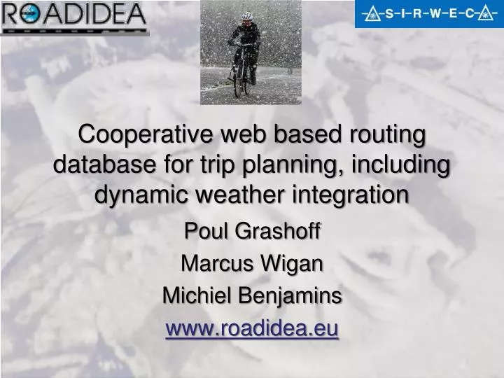
Cooperative web based routing database for trip planning, including dynamic weather integration. Poul Grashoff Marcus Wigan Michiel Benjamins www.roadidea.eu. - One of the many ideas generated in the innovation process - Applies to road users most exposed to weather

E N D
Cooperative web based routing database for trip planning, including dynamic weather integration PoulGrashoff Marcus Wigan MichielBenjamins www.roadidea.eu
- One of the many ideas generated in the innovation process - Applies to road users most exposed to weather - Rain is common in Holland - Resulted in a working service Will I get Wet??? http://rain.roadidea.eu/route Route rainfall prediction in Holland!
What are the key elements? • Free radar rainfall prediction data from the Royal Dutch Weather Service KNMI • A proven on-line trip planning system • Free road network data www.OpenStreetMap.Org • On-line GIS for continuous rider input to enhance this
Free road network data • www.openstreetmap.org provides free road network data. For the Netherlands this is based on a gift from AND (www.and.nl) • Still for bicyclists and pedestrians the network topology and underlying data of the network links is not complete / good. • How to solve this problem?
The Demis on-line GIS for editing network data athttp://rain.roadidea.eu/route/editor.aspx • View, present, edit network link data and node data • Used by hundreds of volunteers contributing to the free on-line bicycle route planner for Holland • Over a million user input network and information input and update edits had been recorded by the end of 2008,and 3 million by mid-2009
Live weather data www.knmi.nl2 hour 1x1 km rainfall prediction(free during the project, thanks to KNMI)
Via point End point Users sets start -, via - and end-point to calculate a route….. Start point
User can change: Departure time and speed to get rainfall prediction
Example with rainfall, check out the umbrella’s and colored route segments….
Based on proven bicycle route planner From – Via – To route planning Cyclists and Motorcyclists After planning route you see the total expected rainfall over the route and which sections you will get wet You can change departure time and average speed to optimize your trip
PC IP adress is not so accurate Map shows location & accuracy
Route Rainfall Prediction Architecture • Client-Server based • KNMI Data feed in HDF5 format via FTP • Radar rainfall prediction per 5 minutes, up to two hours ahead • HDF5.NET software from the HDF group to process HDF5 files into a grid file per time period • Planned route (location & time) is split in 5 minute segments • For each segment the average rainfall is calculated by averaging the rainfall in the grid cells in which the route segment lies.
Route Rainfall Prediction Architecture WEB Client: Internet WEB Server: Sends Flash SWF file via HTTP Internetter Server 2-way data stream to calculate ‘best’ route and reads KNMI data DemisWeb Map Server Provides topographical map via OpenGIS protocol Flash client application: Plays Flash SWF file 2-way data stream To create route Combines map and network KNMI Rainfall prediction in HDF5 format from FTP
CONCLUSIONS ROADIDEA: Innovation potential of the European ITS sector Creating a valuable service to end-users means a multi-disciplinary approach. Bicycle Route Rainfall Prediction as a real service depends on having a free weather forecast as end users are not willing to pay? Mobile point rainfall prediction: not much interest yet, is likely to change as people get used to this two-way kind of communication