Download
1 / 21
230 likes | 521 Views
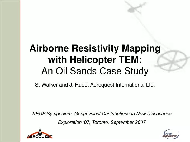
Airborne Resistivity Mapping with Helicopter TEM: An Oil Sands Case Study. S. Walker and J. Rudd, Aeroquest International Ltd. KEGS Symposium: Geophysical Contributions to New Discoveries Exploration ’07, Toronto, September 2007. Acknowledgements. Husky Oil

E N D
Airborne Resistivity Mapping with Helicopter TEM:An Oil Sands Case Study S. Walker and J. Rudd, Aeroquest International Ltd. KEGS Symposium: Geophysical Contributions to New Discoveries Exploration ’07, Toronto, September 2007
Acknowledgements • Husky Oil • Doug Oldenburg, Scott Napier and Roman Shekhtman (UBC-GIF) • Jim Henderson (AGL) • Aeroquest International
Outline • Introduction • Geologic Setting • EM System Descriptions • Qualitative Data Comparison • Quantitative Comparison • Conclusions
Introduction • Oil Sands prospect in Northern Alberta • Test survey flown for Husky Oil • Provided three lines of comparison data
Geologic Setting Glacial cover Shale Oil Sands Limestone with/without salt water
EM System Descriptions • AeroTEM IV (Aeroquest) • Helicopter TEM • 90 Hz, Triangular pulse, 190,000 Am2 • Z comp., 17 off-time gates (2.01 – 5.13 ms) • GeoTEM (Fugro) • Fixed-wing TEM • 30 Hz, Half-sine pulse, 690,00 Am2 • X comp., 14 off-time gates (4.58 – 15.59 ms) • Resolve (Fugro) • Helicopter FEM • 5 coplanar freq. (400, 1500, 6200, 25k, 100kHz)
Qualitative Comparison • Common first step • Data or image based • Focus on northern most line Line 1 Line 2 Line 3
Features in Data • Paleo-channel • Depth to the Clearwater • Surface detail • Bird height variation • Good first pass • But… AeroTEM Z (nT/s) GeoTEM X (pV/m2) CP Inphase (ppm) CP Quad (ppm)
Spatial Resolution AeroTEM Z (nT/s) • Detailed view of paleo-channel data • Sampling Freq. • Survey speed • Effect of foot print • Need to do something else… GeoTEM X (pV/m2) CP Inphase (ppm) CP Quad (ppm)
Quantitative Comparison • Rigorous 1D EM Inversion • What can we see and do we believe it? • Focus on specific soundings (1, 2, 3)
Inversion Algorithm • EM1DFM and EM1DTM (UBC-GIF) • Model: log(σ), layered earth model • Data misfit • Chi squared, noise estimates important • Model Norm • Flattest and smallest model • Remember that solutions are non-unique!!
Recovered Models (Stn 1) 10 Ωm ref. model 20 Ωm ref. model
Recovered Models (Stn 2) 10 Ωm ref. model 20 Ωm ref. model
Recovered Models (Stn 3) 10 Ωm ref. model 20 Ωm ref. model
Depth of Investigation Index • Oldenburg and Li (1999) • if R = 0: m1 = m2 • More reliable model • as R → 1: m1, m2 → m1ref , m2ref • Less reliable model • Apply to our models and take a look…
Models with DOI Index (Stn 1) 10 Ωm ref. model 20 Ωm ref. model DOI Index
Models with DOI Index (Stn 2) 10 Ωm ref. model 20 Ωm ref. model DOI Index
Models with DOI Index (Stn 3) 10 Ωm ref. model 20 Ωm ref. model DOI Index
Pseudo 2D Model (Line 1) • Geologically interpretable • DOI helps know when to stop
Conclusions • Helicopter TEM has worked well in the Oil Sands • High spatial resolution • Sensitive to both near surface and deep features • Pseudo 3D models • Start applying it in other areas