Download
1 / 3
0 likes | 25 Views
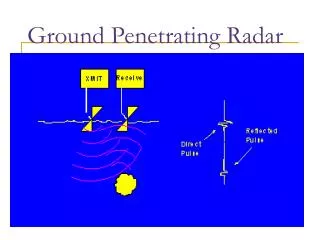
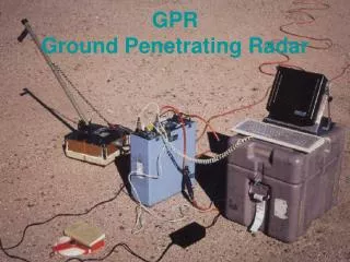
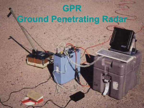
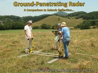
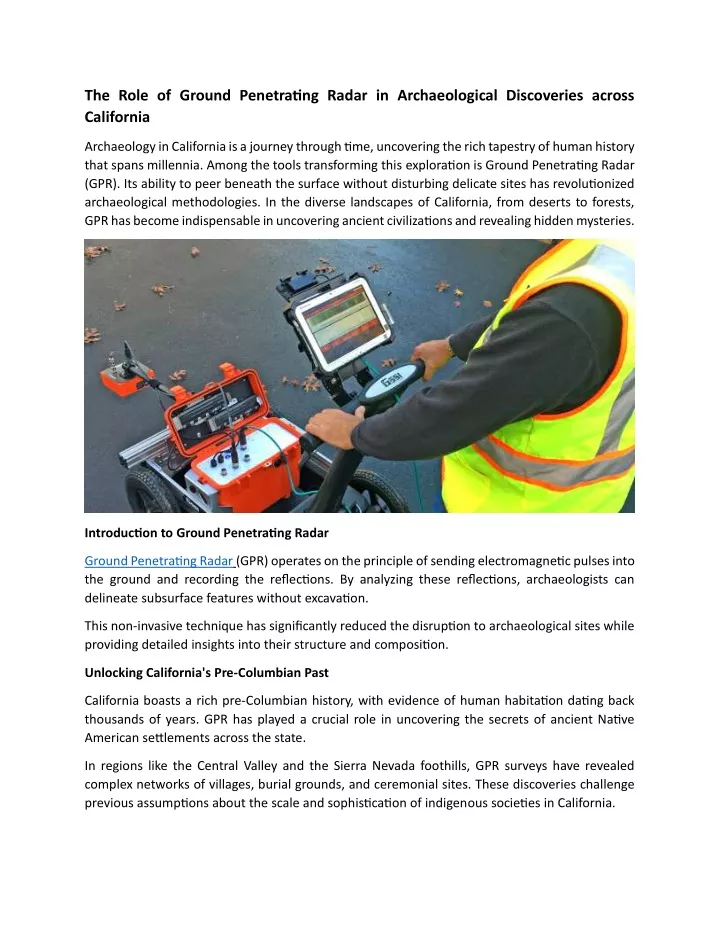
Ground Penetrating Radar (GPR) operates on the principle of sending electromagnetic pulses into the ground and recording the reflections. By analyzing these reflections, archaeologists can delineate subsurface features without excavation.

E N D
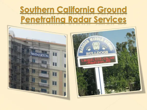
The Role of Ground Penetrating Radar in Archaeological Discoveries across California Archaeology in California is a journey through time, uncovering the rich tapestry of human history that spans millennia. Among the tools transforming this exploration is Ground Penetrating Radar (GPR). Its ability to peer beneath the surface without disturbing delicate sites has revolutionized archaeological methodologies. In the diverse landscapes of California, from deserts to forests, GPR has become indispensable in uncovering ancient civilizations and revealing hidden mysteries. Introduction to Ground Penetrating Radar Ground Penetrating Radar (GPR) operates on the principle of sending electromagnetic pulses into the ground and recording the reflections. By analyzing these reflections, archaeologists can delineate subsurface features without excavation. This non-invasive technique has significantly reduced the disruption to archaeological sites while providing detailed insights into their structure and composition. Unlocking California's Pre-Columbian Past California boasts a rich pre-Columbian history, with evidence of human habitation dating back thousands of years. GPR has played a crucial role in uncovering the secrets of ancient Native American settlements across the state. In regions like the Central Valley and the Sierra Nevada foothills, GPR surveys have revealed complex networks of villages, burial grounds, and ceremonial sites. These discoveries challenge previous assumptions about the scale and sophistication of indigenous societies in California.
Preserving Cultural Heritage One of the primary advantages of GPR is its ability to preserve archaeological sites. Traditional excavation methods often result in irreversible damage to fragile artifacts and structures. GPR allows archaeologists to map out subsurface features with precision, enabling targeted excavation where necessary while preserving the majority of the site intact. This approach ensures that future generations can continue to study and appreciate California's rich cultural heritage. Uncovering Lost Cities and Settlements California's landscape is dotted with the remnants of lost cities and settlements, from the adobe ruins of Spanish missions to the abandoned mining towns of the Gold Rush era. GPR has been instrumental in mapping these ghostly remains, providing insights into urban planning, infrastructure, and daily life in bygone eras. In places like Bodie State Historic Park and Anza-Borrego Desert State Park, GPR surveys have revealed hidden structures buried beneath the earth, offering glimpses into California's forgotten past. Mapping Subterranean Landscapes Beneath California's surface lies a hidden world of tunnels, aqueducts, and other subterranean features. GPR has proven invaluable in mapping these underground landscapes, shedding light on ancient water management systems, mining operations, and transportation networks. In urban areas like San Francisco and Los Angeles, GPR surveys have uncovered buried utilities, foundations, and even forgotten cemeteries, enriching our understanding of the built environment and its evolution over time. Challenges and Limitations Despite its many benefits, GPR is not without its challenges and limitations. The effectiveness of GPR surveys can be influenced by factors such as soil composition, moisture levels, and the presence of natural or man-made disturbances. Additionally, interpreting GPR data requires expertise and experience, as subtle variations in the subsurface can be difficult to discern. As technology continues to advance, however, these challenges are being addressed through improved equipment and analytical techniques. Collaborative Research and Interdisciplinary Approaches Archaeology in California thrives on collaboration between archaeologists, geophysicists, historians, and other experts. Interdisciplinary approaches combining GPR with other remote sensing techniques, such as LiDAR and magnetometry, have yielded groundbreaking discoveries.
By integrating data from multiple sources, researchers can create comprehensive maps of archaeological sites and landscapes, revealing patterns and connections that might otherwise remain hidden. Conclusion: Ground Penetrating Radar has emerged as a powerful tool in the arsenal of California archaeologists, enabling them to uncover ancient mysteries with unprecedented precision and efficiency. From remote desert valleys to bustling urban centers, GPR surveys are transforming our understanding of the past and shaping the future of archaeological research in the Golden State. As technology continues to evolve and interdisciplinary collaborations flourish, the potential for new discoveries in California's archaeological landscape is limitless.