Download
1 / 7
70 likes | 114 Views
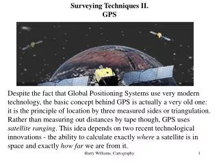
Land Surveying is a method for finding proper distances, angels and points on earthu2019s Surfaces. These methods used for making maps and measuring the area. To find the proper points land surveyors use tools such as GPS, Total Stations, Digital Laser Levels and 3D Scanners. GPS (Global Positioning System) is the main tool in Land Surveying. If you are looking for a one time use or you just start your company and want to invest in such tools, you can purchase or hire a branded Used GPS For Sale In UAE from Falcon Geomatics.

E N D
Land Surveying is a method for finding proper distances, angels and points on earth’s Surfaces. These methods used for making maps and measuring the area. To find the proper points land surveyors use tools such as GPS, Total Stations, Digital Laser Levels and 3D Scanners. GPS (Global Positioning System) is the main tool in Land Surveying. If you are looking for a one time use or you just start your company and want to invest in such tools, you can purchase or hire a branded Used GPS For Sale In UAE from Falcon Geomatics.
Determining a Position • By using static GPS Baseline and Real-time kinetic are used to help in finding coordinates which helps the surveyors to mark the positions. Equipment such as Total Station is also using in help to find a positioning to GPS, but for that sky needs to clear.
Navigation • GPS is a very Basic But Important tool when it comes to navigation. Land Surveyors are always used GPS when researching at a new place. Proper navigation helps the surveyors to reach the destinations with the shortest route.
Monitoring The Movement • Using some high tech GPS Devices you can monitor the Movement of an Object or a Person. Surveyors can easily track their movement with this tracking they don’t need to measure the distance manually. With GPS they can cover a large area swiftly.
Creating A Map • Mapping is one of the important tasks of land surveying. It helps to find the boundaries of that area. GPS makes surveyor's task very easy when comes to mapping. With the Help of GPS and some other surveying tools boundary points are marked by and transfer the coordinates on to the paper and after joining it take the form of a map.
Contact us : Find us on: WWW.FALCON-GEOSYSTEMS.COM