Download
1 / 11
110 likes | 166 Views
This discussion covers improved estimates of sea level change, geoid change impacts, unification of height systems, and analyzing error characteristics. Explore how gravity, geoid modeling, and satellite data contribute to understanding global height systems.

E N D
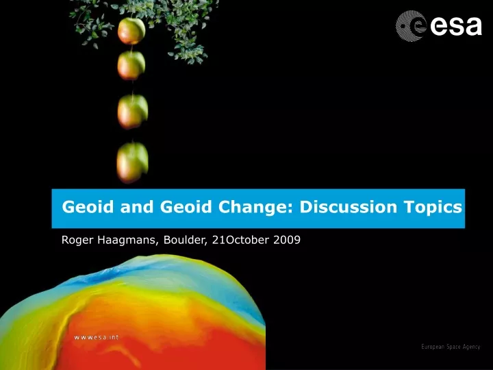
Geoid and Geoid Change: Discussion Topics Roger Haagmans, Boulder, 21October 2009
Improved estimates of sea level change My house Geoid and geoid change: personal interest Unification of height systems
Geoid and geoid change • Gravimetric geoid: definition equipotential surface • What about change? “GRACE”, future constellations and/or terrestrial gravity measure all changes that cause the equipotential to change in time: “all periods and all spatial scales” • Change in time wrt “static mean” choice should integrate to zero otherwise the Earth is growing/shrinking • For every epoch the mass redistributes regionally (e.g. land ice to sea) but the global integral is every time the same
Current status “Static geoid” • Took years to arrive at present situation (gravity and auxiliary data (topography/density)) • Produce gravimetric geoid with sufficient weight for the local data (local data should determine the local to regional scales rather than a global model!!!) • Re-analysis of “higher” latitude satellite data residuals (GRACE + GOCE) for improving the geoid • carefully analyse error characteristics: also in comparison to GNSS & levelling and Altimetry & MDT
Errors in gravimetric geoids vs gps/levelling or satellite altimetry/MDT
Errors in gravimetric geoids vs gps/levelling or satellite altimetry/MDT
MSL altimetry W0 W0 hA GNSS hB GNSS MSL Satellite Altimetry vs tide gauge:harmonising geometry • MSL altimetry to mean tide gauges over same period of time • Airborne connection • Future coastal altimetry: CryoSat “SAR altimeter” ? Choice of W0 Globally consistent
Global height system unification • Global height unification based on satellite only models (commission and omission error analysis necessary) • Could include regional height reference point and global degree 1 • Height system correction for all terrestrial gravity and levelling in same system Stokes & GGM Stokes & GGM with MWG
Geoid change and surface change What does it mean to isolate a specific effect of the geoid change e.g. PGR & GIA? - incomplete according “definition” but maybe ok for application - accurate enough from satellite data or drowning in corrections errors/filters and noise (do we understand the error characteristics)? - accurate enough from ground data combination of geometry and gravity? - does equipotential change necessarily mean geometrical change (at ocean expansion from temperature!) ?
Geoid change and surface change - 2 effects on measurement: + geometric change in ΔH= Δh- ΔN over characteristic distance (if distance << phenomenon expected change in ΔH <<) + set up of instrument different (spirit level) following different local gravity vector as a consequence mass change (too inaccurate ?) - tide gauges follow change as well: change in height reference pointpossible - Re-analyse levelling heights and keep certain benchmarks for validation purposes
Geoid change and surface change USER REQUIREMENTS: - Geoid definition: space-time validity with certain accuracy - GNSS based Levelling: regional requirements probably ok? - tide gauges/altimetry & height system unification: global requirements - put setup for North-America in global context (gravity changes from satellite missions relate to mass transport/re-distribution in the Earth System - difficult and unnecessary to try to isolate specific phenomena in first processing and data base – then tailor made product) - planning tools (with simulator capability) for future networks (used to be a strenght of geodesists) - do we need to define specs for future satellite missions (towards a continuous operational series ?