Download
1 / 14
140 likes | 246 Views
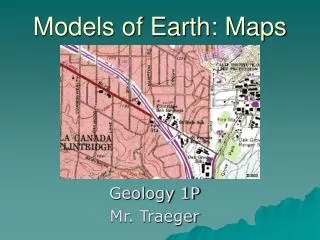
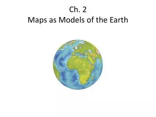
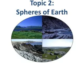
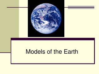
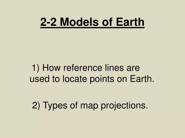
2-2 Models of Earth. 1) How reference lines are used to locate points on Earth. 2) Types of map projections. Scale. A map’s scale relates distance on a map to a distance on Earth Surface. Example : one inch on a map = 2500 miles. Key.

E N D
2-2 Models of Earth 1) How reference lines are used to locate points on Earth. 2) Types of map projections.
Scale • A map’s scale relates distance on a map to a distance on Earth Surface. • Example: one inch on a map = 2500 miles
Key • The Key or Legend on a map is a list of all the symbols used on a map, along with an explanation of their meaning.
Compass • A Compass helps relate directions on the map. Shows North, South, East, and West.
Symbols • Shapes and pictures on a map that are used to for features on Earth’s surface.
Types of Projection • The types of projection we are going to look at are: • Conic • Equal Area • Mercator
Mercator Projection • All the lines of latitude and longitude appear as straight lines. • Distortion increases as you go towards the poles • Cannot show the poles.
Equal Area Projection • Correctly shows the sizes of Earth’s landmasses. • Distortion still exist around the edge of a map. • Lines of longitude are curved.
Conic Projection • Conic projections show a limited part of Earth’s surface. • Lines of longitude are straight while lines of latitude are curved.
Find Points on Earth’s Surface • When writing coordinates, always write latitude first and then longitude: • Example: 30° N 90° W