Download
1 / 10
110 likes | 133 Views
Learn about the European Flood Alert System (EFAS) development, pre-operational testing, and its key features for flood simulation and forecasting in European river catchments. Understand the technical set-up and successful flood alert examples, along with the EFAS way forward for improved flood risk management.

E N D
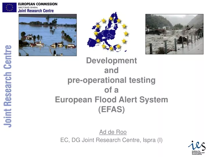
Developmentandpre-operational testingof aEuropean Flood Alert System(EFAS)Ad de RooEC, DG Joint Research Centre, Ispra (I)
LISFLOOD system • Meteo data • ECMWF • DWD • DMI… River basin management River basin management LISFLOOD • JRC European Data • Soil, Surface, • river catchment • system, … Flood simulation & forecasting • Member States data • River dimensions, • Alert levels
Why a European Flood Alert System? • Early flood alert information to NWA (3+ days, max 10) to complement MS WA systems • Catchment based (information from upstream catchment) • Probabilistic approach using different weather forecasts and ensemble weather forecasts (EPS) • Overview and monitoring of flood situation in Europe • Potential backup for national systems • EFAS progress • Feasibility study EFFS (2000-2003) • Elbe and Danube floods (2002) triggered pre-operational testing • Development and testing of EFAS prototype (2003-2006) • Transfer to operational service (MS, ECMWF, other, ???) (> 2006)
EFAS setup • European catchments > 2000 km2 on a 5 km grid • Selected transnational catchments on a 1 km grid (Danube, Elbe, Meuse, Oder) • LISFLOOD model • hourly time step • forecast run on arrival of meteo forecasts (00&12) • Input data • 2xDWD (GME+LM), 7 days • 2xECMWF – Deterministic, 10 days • 51x2 ECMWF EPS, 10 days • observed meteo data • Tests with COSMO-LEPS, 5 days
European Flood Alert System:Example of a successful flood alert 30 July 2004 Rainfall forecasted CZ SK Flood problems forecasted A HU RU Black Sea Low flood risk Medium flood risk High flood risk Extreme flood risk Alert send on 30 July; Floods confirmed by Rumanians on 3-4 August Adriatic Sea BG Siret, Rumania
Distribution of information from the European Flood Alert System (EFAS)
EFAS way forward • Pre-operational testing until >2006 • Feedback thru: • ECWMF agreement (link to NMS’s) • EFAS network with NWA (thru MoU) • Elbe (IKSE) and Danube (ICPDR) commission, flood WG/ FAP • Flood forecasting exchange circle (F-JRC) • Continued R&D: • JRC workprogramme • IP PREVIEW, IP FLOODSITE, (EFFS) • Establishing proper data exchange environment: • European Parliament support thru DG ENV • DG Enterprise IDA-BC programme • After >2006, transfer to ??
Thank you ad.de-roo@jrc.it
THE LISFLOOD MODEL • specifically developed to simulate floods in large European river basins • spatially distributed and grid-based • enabling the spatial variation of land use, soil properties and precipitation COMBINATION OF GRID-BASED RAINFALL-RUNOFF MODEL + 1D HYDRODYNAMIC CHANNEL FLOW ROUTING MODEL SPECIAL FEATURES (RESERVOIR OPERATIONS, LAKES, POLDERS) USING INITIAL CONDITIONS OBTAINED USING WATER BALANCE MODEL MODEL INPUT • soil data, land use, topography and channel dimensions • meteorological variables as rainfall, potential evapotranspiration and temperature MODEL OUTPUT • the main output is river discharge • any calculated variable can be reported as either maps, time series of maps or time series at selected point locations