Download
1 / 23
230 likes | 238 Views
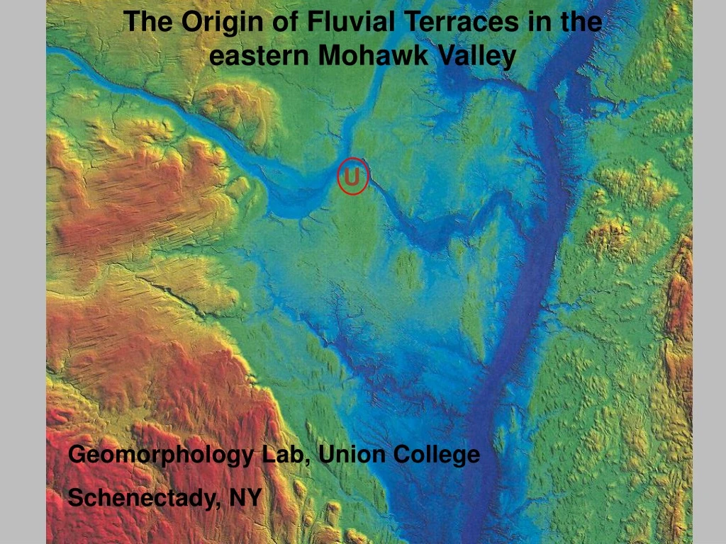
The Origin of Fluvial Terraces in the eastern Mohawk Valley. U. Geomorphology Lab, Union College Schenectady, NY. Union College ~2000 undergrads quarter system ( 3 10-week terms). Geomorphology course prerequisite - any introductory geology course 6-12 students

E N D
The Origin of Fluvial Terraces in the eastern Mohawk Valley U Geomorphology Lab, Union College Schenectady, NY
Union College • ~2000 undergrads • quarter system ( 3 10-week terms) • Geomorphology course • prerequisite - any introductory geology course • 6-12 students • 40% fluvial, 20% slopes, 20% weathering, 10% eolian, 10% karst • WAC (writing intensive course)-6 significant lab reports • students read and discuss 6 journal articles related to lab reports • GSA style oral presentations on lab reports • team oral presentations of journal articles
U U from LaFleur, unpublished
U U From LaFleur, unpublished
Hoffman’s Delta Washout Creek/Sanders Preserve U Plotterkill Preserve Mohawk Valley terraces
Pedagogic Objectives • provide students with a challenging “real” geomorphic problem that requires field work with some map/computer work (3-weeks long) • require students to use the primary literature to develop multiple working hypotheses to explain the origin of stream terraces near campus • consider and see the effects of thresholds in geomorphology • write a thorough and rigorous scientific report that tests multiple hypotheses and provides guidance for future work • Student Objectives • document the distribution of fluvial terraces in the eastern Mohawk Valley • apply the concept multiple working hypotheses to develop testable • hypotheses that explain the origin of these terraces, and to select and • defend the most likely of these hypotheses • propose a research project to more fully test all hypotheses
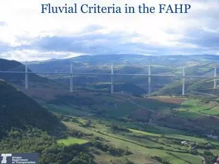
Methods • read and discuss in class 2 background papers (Bull, 1979; Merritts et al., 1994) • survey the height above the present stream channel of terraces along ~ 1 km reaches of 2 tributaries of the Mohawk River • generate longitudinal profiles of the terraces preserved • generate cross sections of the tributary valleys • map the large terrace remnants along the eastern Mohawk on topographic maps • observe exposures of the material that underlies the stream terraces to determine whether terraces are fill or strath terraces • Materials • site level and stadia rod • laser range finders (planned for 2008) • measuring tape • local topographic maps • picks and shovel to excavate beneath terrace surfaces
Deliverables • 2 longitudinal profiles, 2 cross sections, a topographic map, EXCEL data tables with all calculations • an ~10 page report in a “standard” scientific format (w/ introduction, methods, dataanddiscussion, and conclusions sections) • an oral report by selected students followed by open discussion in class
Some commonly developed hypotheses • Terraces in the eastern Mohawk Valley reflect step-wise base level lowering associated with drainage of Glacial Lake Albany • Terraces in the eastern Mohawk Valley reflect progressive isostatic uplift of the region • Terraces in the eastern Mohawk Valley reflect changes in sediment yield and stream power that were climatically induced during the Holocene • Terraces in the eastern Mohawk Valley reflect anthropogenic impacts on hill slope stability during the late Holocene.
Strengths • problem based, investigative, hands-on • requires significant synthesis • Weaknesses • big and complicated • elusive balance between giving class enough information and so much as would ruin the challenge for the best students