Download
1 / 6
60 likes | 71 Views
The growth can be credited to the increasing adoption of light weighted helicopters across various sectors. Helicopters

E N D
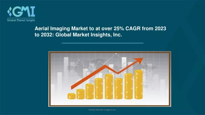
Aerial Imaging Market to at over 25% CAGR from 2023 to 2032: Global Market Insights, Inc. Global Market Insights Inc.
Overview of Aerial Imaging Market • The global aerial imaging market is poised to attain high gains through 2032 owing to the growing occurrences of natural calamities such as storm surges, floods, wildfires, and tropical cyclones. • Key players partaking in the aerial imaging market are focusing on integrating advanced functionalities into their imaging platforms via modern analytics and image processing options. In 2021, EagleView, a global leader in geospatial technology, partnered with Skyline, a leading provider of 3D earth visualization software, to help consumers to visualize their geospatial data in new ways. The goal of this collaboration was to integrate Skyline's 3D Mesh technology with EagleView's high-resolution imagery to improve insights in the TerraExplorer platform. • Based on platform, the helicopter segment is speculated to grow at more than 23% CAGR from 2023 to 2032. The growth can be credited to the increasing adoption of light weighted helicopters across various sectors. Helicopters are used in a variety of industries to capture images such as rear shots, lookdown shots, dashboard shots, and landscape shots. Global Market Insights Inc.
Continue… • With respect to imaging, the vertical imaging segment is slated to expand steadily through the forthcoming timeframe attributed to the widespread application of the technology for surveying and mapping purposes. Vertical aerial imagery is widely employed for object detection in mapping applications. • In terms of application, the geospatial mapping segment is set to witness sizable growth over the review timeline due to the surge in the use of geospatial mapping applications given the increased number of AI and ML-based solutions and the widespread deployment of IoT sensors. Rising popularity of 3D visualization and technological developments in aerial mapping solutions are further expected to provide the market with numerous potentials for expansion. • On the basis of end-user, the government segment is estimated to register strong growth by the end of the research years. The segmental expansion is likely to be driven by the growing usage of aerial imaging for mapping, urban planning, disaster relief, conservation, and research for governmental activities. Global Market Insights Inc.
Continue… • From the regional outlook, the Europe aerial imaging market is projected to hold more than 15% market share by 2032. The rising adoption of commercial drones in the energy, defense, agricultural, and disaster management industries is fueling the aerial imaging market expansion in the Europe. In addition, European nations such as the UK, Germany, and France currently hold the biggest market share in the industry owing to growing use of drones in several industries and government initiatives to support drone applications. • Notable participants in the Aerial Imaging market include: Cooper Aerial Survey, DroneDeploy, Eagle View Technologies, Fugro NV, Wingtra, Getmapping Plc, Kucera International, Airobotics, Landiscor, Hoverfly technologies, NearMap Ltd, Precision Hawk, DJI Technology Co., Ltd., and Sanborn Map Company, Inc. Global Market Insights Inc.
Browse Full Research Report On Aerial Imaging Market@ https://bit.ly/3Gb25DA Request for a sample of this research report @ https://bit.ly/3G6SihJ Global Market Insights Inc.
Stay In Touch Website: www.gminsights.com Social Media: Global Market Insights Inc.