Download
1 / 14
140 likes | 284 Views
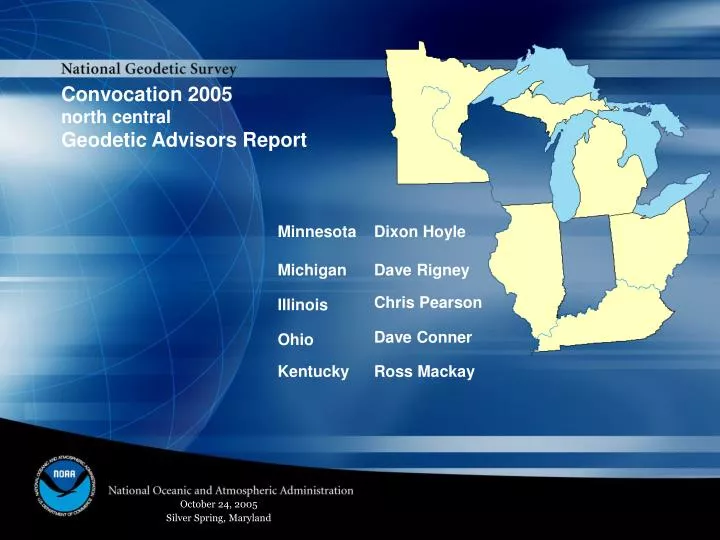
Convocation 2005 north central Geodetic Advisors Report. October 24, 2005 Silver Spring, Maryland. Minnesota , Dixon Hoyle. MnDOT performed a GPS survey at 25 km intervals around 350 stations adjustment completed 2 cm ellipsoid heights achieved

E N D
Convocation 2005 north central Geodetic Advisors Report October 24, 2005 Silver Spring, Maryland
Minnesota, Dixon Hoyle • MnDOT performed a GPS survey at 25 km intervals • around 350 stations • adjustment completed • 2 cm ellipsoid heights achieved • MnDOT performing 2nd-order Class I levels to GPS stations • about 1/2 completed • MnDOT also leveling to ARP of 52 VRS stations • about 30 completed
Minnesota, Dixon Hoyle MnDOT VRS network
Michigan, Dave Rigney • Ferris State University Students observe 206 km of 2nd Order Leveling • Data Sheets and OPUS provide SPC (int’l ft.) • Michigan CORS offers RTK via Digital Cellular Technology • (where available) • $400,000 SPR Funds for Height Modernization FY 05 • $900,000 SPR Funds for Height Modernization FY 06 • Hold two Height Modernization Forums (1 LP and 1 UP)
Michigan’s Metro Region Height Modernization Project Michigan, Dave Rigney
Illinois, Chris Pearson Height Modernization in Illinois • Significant progress has been made in establishing a height modernization program in Illinois • Identified a state agency willing to take the lead • Established a coordinating council of representatives from state agencies (IDOT, IDNR, ISGS and the state water survey) • Developed a draft statement of need • Presentations to members of the state political establishment • Identified a member of the Illinois congressional delegation who has offered to support the program
Other activities Illinois, Chris Pearson • Project submission • Numerous projects for IDOT • Commemorative marks • National adjustment • Series of seminars for universities in the Midwest • Purdue and UW so far • SLIS Paper • Regular lectures in Geodesy and GPS for Illinois Universities • UIUC, SIU and NIU • Parkland Community College, ICCC, Rend Lake Community College • Short courses on GPS and Least square adjustments IPLSA annual meeting • Short course on “Geodesy for geographers” for ILGISA • Short course on PAGES processing for NCAT
Great Lakes Project More than an NGS project... Ohio, Dave Conner • One of the largest cooperative GPS projects • ever undertaken by NOS • Organized under the auspices of the • International Joint Commission's • Great Lakes Coordinating Committee • Designed to maintain accurate height relationships • between U.S. and Canadian water level gauges, • the International Great Lakes Datum (IGLD85) and the NAVD88 • Spans 8 states and 2 Canadian provinces • 34 receivers on the US side, about 8 in Canada • U.S. observers include 11 from NGS (including five Advisors), • 2 private sector volunteers (organized thru State Advisor contacts) • and the rest made up of State Agency volunteers.
Ohio, Dave Conner • Ohio DOT CORS Network • 51 stations • Nation’s first statewide RTK GPS Infrastructure • Statewide VRS capability • Planning is underway to run levels to ARP of all ODOT CORS
Kentucky CORS Kentucky, Ross Mackay • FY ’05 Kentucky Height Modernization • Morehead State University • Grant recipient from NOAA. • Submit application and project reports for Grant, • Develop Kentucky CORS Data Archive Center. • KY Division of Geographic Information • Provide overall Height Modernization Project management, • Develop project charters, plans and agreements, • Coordinate with related organizations such as the flood map modernization committee. • KY Transportation Cabinet • Install and provide ongoing support of the CORS sites (to be located at Highway District Offices) • Manage the award of contracts and oversight of the work.
Kentucky, Ross Mackay • Download NGS datasheets from the Commonwealth Map; click on a point to retrieve directly from NGS. • or Select & Retrieve by specifying radial or rectangular search area, or station name. • Download NGS data in GIS shapefile format by County • or Select & Retrieve by specifying radial or rectangular search area, or station name.
Convocation 2005 north central Geodetic Advisors Report October 24, 2005 Silver Spring, Maryland