Download
1 / 11
110 likes | 255 Views
Investigating the Links Between GMES & Emission Inventories - An Update. Justin Goodwin: ETC-ACC Supported by EEA TFEIP Meeting Stockholm 3th May 2011. GMES services and emission inventories.

E N D
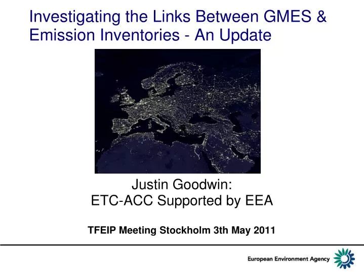
Investigating the Links Between GMES & Emission Inventories - An Update Justin Goodwin: ETC-ACC Supported by EEA TFEIP Meeting Stockholm 3th May 2011
GMES services and emission inventories • GMES (Global Monitoring for Environment and Security) European Earth Observation Program for the implementation of information services set up to support EU environmental policy and security. • 1) Workshop 10-11th October 2011 to explore from two perspectives: • 1. Emission inventory as input to GMES services • 2. Using GMES data in emission inventory compilation • 2) Develop ongoing work programmeover a number of years
Workshop Objectives • GMES Emission Estimation. • Successes • future opportunities • Themes... • Downscaling: Cities/spatial grids using in-situ and satellite data • Now-casting: Real time data collection • Sectoral estimates: e.g. gap filling, shipping, road transport, wildfires • Verification: Consistency between GMES/MACC emission inventory and official inventories (LRTAP, UNFCCC)
Who may be interested? • Earth Observation & GMES community, • Scientific modeling (air quality, climate and ecosystem modeling), • Emission inventory community, • Policy makers and industry with an interest in emission inventory improvement and verification.
Problems with Inventories for GMES • Annual National Inventories: • national totals only with 50x50km + Large Point Sources for some air pollutants. • Time-lag (~2 years) and by the time modelling enhancements are applied ~ 3-5 years • Limited details of monthly, daily or hourly variations available. • Regulated installation inventories: • Limited detail of source categories, stack height, activity data, temporal (only annual totals: not monthly, daily or hourly) variations. • Thresholds and threshold reporting limits the usability of the data and the comparability with real emissions. • Time-lag (~2 years), No projections • City Inventories: • Irregular update frequency (often out of date) • Time consuming and bespoke, involving lots of data suppliers without long term data flows or strong institutional arrangements. • Lack of standards and consistent/comparable emissions datasets limit quality. • Difficult to integrate/compare with national inventories/statistics. • Time-lag in production (~2 years) and no projections. • Global Inventories: • Time-lag in production (~5 years) • Limit on level of spatial detail achievable globally • Large dataset to maintain with many inconsistencies with other smaller scale data to resolve. • Irregular update frequency (often out of date) • Limited accuracy through use of “generic” global datasets (e.g. population, employment etc)
Improving Emissions Inventories • Integration & Data from facility reporting (energy consumption, stack height and temporal variation) (IPPC/E-PRTR/EUETS). • More survey/census data (e.g. Domestic wood, cities, fuel type) • Methods to use proxy data indicators (e.g. temperature, traffic flows, electricity/gas demand). • Continuous emissions monitoring networks OGC –Sensor Observation Services • Automatic Number Plate Recognition for road traffic. • Aircraft flight data. • Shipping route data. • Real time energy supply data (e.g. http://www.nationalgrid.com/uk/Electricity/Data/Realtime/Demand/). • Temporal variations(e.g. monthly, daily and hourly traffic, energy demand and production, agricultural activity etc). • Speciation of pollutants (e.g. NMVOC, Heavy Metals, and POPs). • PM characteristics EC, OC, BC, PM size distribution and particle number. • City/urban inventory Standards • INSPIRE. • Annual inventories to y-1 • Improve national data consistency and flows.
Problems with GMES for inventories • National Inventory Compilation • Methods and data sources well established and utilise national statistics and other ground based datasets. • Limited “intensity” information unable to “Quantify” national emissions for energy, waste and industrial process emissions. E.g. Fuel use, traffic density, numbers of cars, fuel type. • Cloud cover and/or instrument failure may prohibit a continuous operation and quality may vary between countries depending on climatic conditions. • Limitation on historic datasets. Cannot go back to years before the satellites existed. • Spatial emissions distribution. • Limited intensity information, (better for area based source/removal categories) • Limitation on historic datasets and timeseries mapping. • Inventory verification. • Modelling and data needs for verification. • Some questions about update frequency if EAS GlobCover dataset is becoming available in 2010 showing 2005 data.
Improving GMES services for emission inventories • National Inventory Compilation: • emissions/removals and biomass from forest growth and deforestation (LULUCF) and natural sources (Volcanoes, forest fires). • no other satellite based datasets known that are viable replacements or enhancements to established statistics (energy, waste, agriculture and industrial process) based inventory accounting. • Spatial & temporal emissions distribution: • GPS tracking of vehicle movements & type to estimate traffic intensity. • Inverse near-real-time modelling of atmospheric concentrations and emissions based on high resolution column measurement data. • spatial distribution of forest growth and deforestation • spatial distribution of statistics based agriculture Crop types and areas, fertilizer applications and management practice surveys. • A number of these techniques are quite well advanced and have been tested in a number of EU projects (APMOSPHERE, IMPRESARIO, GEMs, PROMOTE) • Inventory Verification: • Verification of emissions from and location of Large Emission Sources based on their stack plumes. • verifying Landuse, Land Use Change and Forestry (LULUCF) inventories reported under UNFCCC/EUMM by providing detailed maps of forest change. • Verification based on inverse modelling of column measurement. • This is a relatively new solution to independent verification of reported emissions inventory data. Approaches still have high uncertainties and methods need streamlining and developing.
Thank you http://acm.eionet.europa.eu/meetings 1) Scoping Paper 2010 ETC-ACC 2010 (see ETC-ACC) 2) Workshop 10-11th October 2011 Copenhagen register at: 3) Plan for a multi-annual work programme to facilitate engagement between GMES and Emissions communities