Download
1 / 12
120 likes | 141 Views
This article outlines the efforts made in China to standardize remote sensing technology, including the establishment of the National Technical Committee 327 and its cooperation with the National Remote Sensing Center of China. The article also provides information on the framework of the remote sensing standard system.

E N D
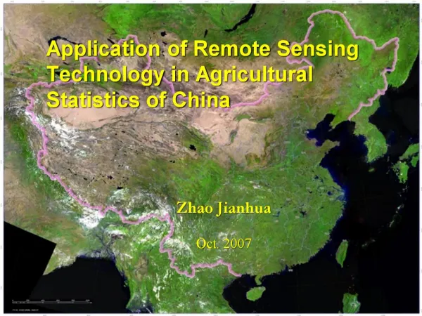
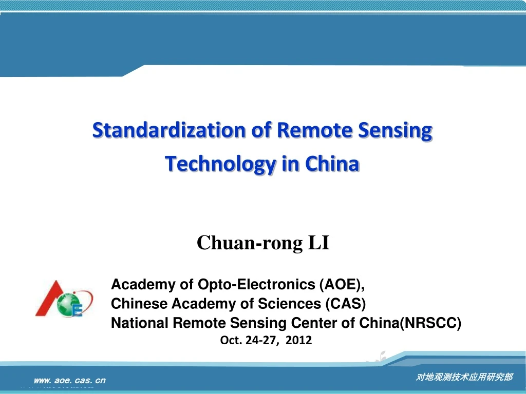
Standardization of Remote SensingTechnology in China Chuan-rong LI Academy of Opto-Electronics (AOE), Chinese Academy of Sciences (CAS) National Remote Sensing Center of China(NRSCC) Oct. 24-27, 2012
Outline Standardization of RS Technology In China 1 International Situation in Standardization of RS Technology 2 Finding and Suggestion 3
Standardization of Remote Sensing Technology In China • Effort and Progress made in China on RS Standization: • National Technical Committee 327 on Remote Sensing of Standardization Administration of China (SAC/TC 327) was established on March 2008. • Academy of Opto-Electronics(AOE) is the secretariat of the committee to facilitate the implementation. • SAC/TC 327 Committee has close cooperation with National Remote Sensing Center of China (NRSCC).
Website of SAC/TC 327 Main modules: • News & Information • Reports & achievement • Standard development & revision • Knowledge of standardi-zation • About SAC/TC 327 English version of the website is to be built. http://www.rsstandard.cn
Framework of Remote Sensing Standard System Top level : Framework of RSstandard system RS dataacquisition Generalstandards RSapplications Framework of RSstandard system RS dataprocessing Data management& services Generalstandards RS dataacquisition RS dataprocessing RS datapost-processing Calibration Validation Datamanagement& services RSapplications RS datapost-processing Calibration Validation Sub-levels : RS glossary RS acronyms 1. Generalstandards RS technical categories Standard system diagram
Framework of Remote Sensing Standard System 2. RS dataacquisition Platform Sensor Data transmission Data reception Operationalmanagement DT format Ground station site selection Acquisition programming Spaceborne Passive & imaging VNIR-SWIR Receiving & record tasks Satellite DT protocol Site survey MIR-FIR EM environment test Space station Data compression DT devices EM environment protection Microwave Space shuttle Airborne Passive & non-imaging DT link Ground receiving system Infrastructural technics Plane EM detection Lightning protection Airship Gravity detection EM compatibility Balloon Active & imaging Receiving devices Sounding rocket SAR Raw data record Ground LiDAR Formats & interface Vehicle Sonar tower Active & non-imaging Mobile receiving system ship Radar altimeter Vehicle-based system Laser altimeter Ship-based system Radar scatterometer
Framework of Remote Sensing Standard System 3. RS dataprocessing Processing technics Data product Processing systemmanagement Image quality Task management Imaging processing Product grading Radiometric quality Product framing System parameter Radiometric correction Geometric quality Product format Data catalogue Systematic geometric correction Spectral quality Product inspection Precise geometric correction Compression quality Ortho-rectification Image mosaic Data compression Non-imaging data processing Data input/output
Framework of Remote Sensing Standard System 4. RS datapost-processing Data enhancementprocessing Image classification& interpretation RS informationextraction Grayscale/color enhancement Supervised classification Direct parameter inversion Unsupervised classification Image sharpening Reflectance Visual interpretation Temperature/emissivity Spatial/frequency filtering Feature transformation Target detection & recognition Soil moisture by MW Change detection Atmospheric profile by sounding Pixel unmixing Image restoration Elevation extraction Indirect parameter inversion Texture analysis Land surface parameters Multi-source data fusion Aquatic parameters Atmospheric parameters Geophysical parameters
Framework of Remote Sensing Standard System 5. Calibration 6. Validation 7. Data management& services 8. RS applications Instrument & apparatus Data visualization Environment Lab calibration Hazard Site & point choosing Data archiving On-board calibration Data security Ground measurement Resource survey Vicarious calibration Scale conversion Data dissemination Surveying and mapping Cross calibration Evaluation methods Data sharing Weather/climate Expert knowledge base Farming/forestry Ecology Software testing Document management Inland water/ice/snow Estuary/coastal zone Ocean Soil Welcome your kind advices about this “Framework of remote sensing standard system”, and you can discuss it within the meeting, or feedback to email: xhwang@aoe.ac.cn Geology/minerals Urban Traffic Tourism/archaeology
International Situation in Standardization of Remote Sensing Technology International Organization for Standardization (ISO) In ISO’s over 220 TCs, the following eight TCs have certain correlation with remote sensing technology : ISO/TC 20 "Aircraft and space vehicles" ISO/TC 42 "Photography" ISO/TC 130 "Graphic technology" ISO/TC 146 "Air quality" ISO/TC 147 "Water quality" ISO/TC 172 "Optics and photonics" ISO/TC 190 "Soil quality" ISO/TC 211 "Geographic information/Geomatics" / WG 06 "Imagery" ≠ Remote Sensing A new ISO/TC is required to support the development of RS standards.
Find and Suggestions • WGCV not only output research result and built CV capacity but also definitely produce procedures, references, guidelines etc. to normalize the CV missions • Those procedures, references and guidelines could be formalized a Standard to benefit all EO sectors as well as its marketing activities. • QA4EO and Data sharing both need the standard for quality control and data or product exchange. • CEOS is just in the right position to lead EO or RS standardization work Suggestion • CEOS takes concern on RS Standardization issue and strength the liaison action to ISO to get support in creation of a new ISO/TC on Remote Sensing technology domain • WGCV involves the standardization issue into its current CV actions