Download
1 / 34
340 likes | 356 Views
Explore the history and timeline of Belgium's cadastral map, from manual methods to the modern CadGIS system. Discover the expected benefits and realization approach of CadGIS, as well as the important role it plays in managing the cadastral map.

E N D
Agenda • Introduction • Belgium • FPS Finance • History • Timeline • Map & registries evolution • CadMap • STIPAD • CadGIS • Introduction • Expected benefits • Realization approach & results • Conclusions
Belgium : the Federal State structureand the levels of power • At the top-level, a three-level structure • the Federal State • the Communities • the Regions • They are on an equal footing but have powers and responsibilities for different fields. • At the intermediate level, the provinces • They are supervised by all the higher government authorities, in the context of the federal, community or regional powers. • At the bottom level, the cities • It’s the level of administration that is closest to the people, under the supervision of the higher authorities
Belgium : additional details • Capital : Brussels • Population : 10 839 905 inhabitants (2010) • Area : 30 528 km² • Population density : 349 people per km2 • Official languages : Dutch, French and German • GDP : 368 bn € • Currency : Euro • www.belgium.be
Timeline - History Analog / Manual Modern Map …Additionalmap… CadGIS CadMAP Primitive 1979 1994 2005 2013 1970 1830 Land Reg. Punched cards Microfiches CadNet Primitive STIPAD Early automatisation
Analogsheets : Additional Map (from 1830) papersince 1830 film from 1960
Registriesevolution 1970 1979 1970 1922 1830
Timeline - History Analog / Manual Modern Map …Additionalmap… CadGIS CadMAP Primitive 1979 1994 2005 2013 1970 1830 Land Reg. Punched cards Microfiches CadNet Primitive STIPAD Early automatisation
Cadnet 1994
CadMap : a major step towards a cadastral GIS (1/2) • Main objective : manage and update the cadastral map under digital form • Achieved results : • 30.000 sheets digitized (done in collaboration with the 3 Regions) • Integration of the 30.000 digitized sheets into shapefiles, with recuperation of the intermediate updates based on the analogical sketches • Storage in a central electronic document management system • Update tools build on ArcView by ourselves • Printing tools to provide official extracts of the cadastral map • 1/1/2006 : 1st official version of the digital cadastral map
STIPAD : schematic view REGISTRATION LAND REGISTRY PUBLIC PROPERTY MORTGAGE SERVICES ir Michel Van Acker
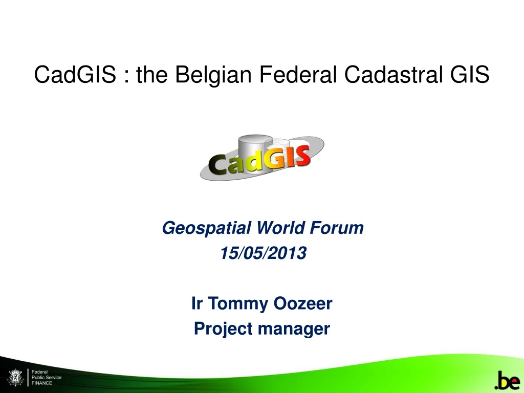
CadGIS : introduction • Is the ultimate result of the GAPD strategy concerning the cadastral map modernization • Is the cadastral Geographic Information System • Main objective is to manage the cadastral map and deliver the geographically referenced data in a more efficient and appropriate way
CadGIS : expected benefits • For GAPD agents : • An integrated tool relying on modern technologies that enables them to optimize the achievement of their mission • For GAPD partners and citizens : • Simple but fast ways to obtain the geographic data while ensuring privacy • For everyone : • Data intrinsic quality and legal certainty improvement
CadGIS : tender • Lot 1 : Implementationof the Patrimonial Documentation GIS • Won by Capgemini in collaboration with CSC et ESRI Belux • Lot 2 : 100.000 continuity problems resolution • Won by Avineon
CadGIS : realisation approach • Project is divided into 2 sequential phases + preparation : • Preparation : • Geometrical improvement (continuity) • Consolidation (RUP based : processes, UC, …) • Release 1 (publication) : • 4 viewers • 3 INSPIRE related services • Release 2 (update tools) : • 2 main modules : light & heavy modifications
CadGIS : preparation phase – geometrical improvement (3/3) • Approximately 100.000 continuity problems between the cadastral sheets had been detected and documented in order to be corrected via outsourcing • This work was completed at the end of 2011 • The geometrical improvement is being continued
CadGIS : preparation phase – consolidation phase • Methodology based on RUP • Business processes • UC • …
CadGIS : technological choices • Release 1 • Implementation with the help of the ArcGIS suite • Viewers in Flex (Adobe) with the Rest API • Business logic in java on the application server • Architecture : separate layers, near MVC model • Integrated within FPS Finance standards • Release 2 • Light modifications tool will be implemented in Flex – Rich client • Heavy modifications tool will be based on an ArcGIS customization (.Net – C#) • Common modules will be packaged in an atomic way
CadGIS Release 1 : viewers (1/3) • 4 viewers (adapted for specific groups of users) : • Any web user : free access (with basic functionalities) : http://ccff02.minfin.fgov.be/cadgisweb/ • Belgian residents : user is authenticated with the help of an electronic identity card (eid) http://ccff02.minfin.fgov.be/cadgiscitoyen/ • GAPD partners: extra functionalities with eidwww.myminfinpro.be • FPS Finance employees: Intranet application with specific access to functionalities depending on their business role.
CadGIS Release 1 : viewers (2/3) BUT … Interface is quite the same in all versions • Logout/help • Overview map • Situation • Layers • Functionalities • Navigation • Scale • Coordinates Are specific to the users
CadGIS Release 1 : viewers (3/3) • Main functionalities : • • On-line consultation • •Multi-criteria search tools (by address, by cadastral number, by coordinates) • •Identification and measurement • •Pdf print • • On-line cadastral map extract request • •On-line vectorial data copy request
CadGIS Release 1 : INSPIRE related services 2 WMS services : • Cadastral parcels : http://ccff02.minfin.fgov.be/cadgisWMS/CP_CadastralParcels/MapServer/WMSServer?request=GetCapabilities&service=WMS • Administrative units: http://ccff02.minfin.fgov.be/cadgisWMS/AU_AdministrativeUnits/MapServer/WMSServer?request=GetCapabilities&service=WMS 1 CSW service : http://ccff02.minfin.fgov.be/geoportalext/csw/discovery?Request=GetCapabilities&Service=CSW&Version=2.0.2
CadGIS Release 2 : current status & planning • Elaboration phase (ongoing September 2013) • Consolidation • Functional architecture • Technical architecture • Data model • … • Prototype • CadGIS Release 2 expected in July 2015
CadGIS : perspectives & conclusions • CadGISRelease 1 is still fresh but a lot of users have been responding with interest and enthusiasm • CadGIS is already a privileged link between the Administration and the citizens / professionals / partners • CadGISRelease 2 will improve the cadastral map management and update rhythm • More challenges are yet to come : • A lot of documentation can still be integrated in the GIS (buildings description & plan, surveys description, …) • CadGIS– STPAD complete integration • Belgian Cadaster has been selected to receive a Special Achievement in GIS (SAG) award at the 2013 Esri International User Conference
Questions & answers Questions ? Remarks ? comcel.patdoc@minfin.fed.be