Download
1 / 14
140 likes | 158 Views
This study delves into Hualapai ethnogeology, examining indigenous knowledge of Earth systems and processes, the significance of place-based education, and cognitive understandings of time. Delve into the spiritual, physical, and historical aspects of the Hualapai culture through insights on ancestral connections, spatial cognition, and linguistic origins. Discover the rich cultural tapestry woven into the land of the Hualapai people and explore the intersections of traditional, scientific, and spiritual knowledge. This research sheds light on the deep-rooted ties between the Hualapai community, the environment, and their geological heritage.

E N D
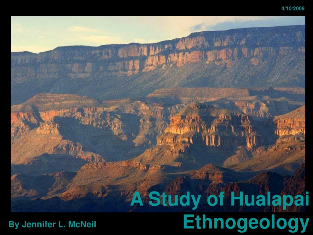
4/10/2009 A Study of Hualapai Ethnogeology By Jennifer L. McNeil
TRAIL OF TIME • Professor Steven Semken • NSF Informal Science Education Grant ISE-0610345 • Virtual Trail of Time
Background • What is Ethnogeology? “Indigenous knowledge focused on Earth systems and processes...” (Karlstrom, et al. 2008) • A Sense of Place “..a set of meanings of and attachments to places that are held by individuals or groups.” (Semken, 2005) • Assist in Place-Based Education • Cumulative ‘empirical observation, reasoning’ • Attachments to place • Spatial and Temporal cognition
Origins • Physical • Cerbat • Yuman language • Other? • Spiritual • Mt. Wikame • LAND IN WORLD OF WATER • Matavila • War with Yavapai • Mohave
Mohawk Canyon Peach Springs, AZ
Hualapai Seal • Man and Woman • Hair • Canyon • Reservation • Sun • Tracks • Pine Trees
Hualapai Words • Hualapai, Walapai, Wallapi, etc… • Mataθwa’lgut, hole in the ground • Ta’kemi’nva, Cave spring • Kwaguwu’de, mountain with kwaguwu’de growing on it • Wi kiatkia’t, a big rock, six miles • Buima’ tcelo’va, Skunk canyon • Tcukia’l tuvkyo’, deepwater amoung the rocks.
Whahavo • Sacred cave in Mohawk Canyon • Archeo • Whala Kitev Giova rock shelter?
Further Research • Interviews • Cerbat and Yuman origins • Hualapai Dictionary • What connection to the caves did they have? • Cognitive understanding of time and vertical translation?
References Dobyns, Henry F and Robert C. Euler. 1976. The Walapai. Phoenix: Indian Tribal Series. Karlstrom, Karl, Steven Semken, Laura Crossey, Deborah Perry, Eric D. Gyllenhaal, Jeff Dodick, Michael Williams, Judy Hellmich-Bryan, Ryan Crow, Nievita Beueno Watts, Charles Ault. 2008. Informal Geoscience Education on a Grand Scale: The Trail of Time Exhibition at Grand Canyon. Journal of Geoscience Education, v.56,n. 4, p.354-361. Kniffen, Fred, Gordon MacGregor, Robert McKennan, Scudder Mekeel, and Maurice Mook. 1935. American Anthropological Association. Menasha, Wisconsin. USA: American Anthropological Association. McKee, Edwin D. 1938. The Environment and History of the Toroweap and Kaibab Formations of Northern Arizona and Southern Utah. Washington, DC: Carnegie Institution of Washington, DC. Riggs, Eric M. 1998. Toward an Understanding of the Roles of Scientific, Traditional, and Spiritual Knowledge in Our “Demon-Haunted World”.. American Indian Culture and Research Journal, 22:1, p.213-226. Riggs, Eric M., Dawn Marsh Riggs. 2003. Cross-Cultural Education of Geoscience Professionals: The Conferences of the Indigenous Earth Science Project. Journal of Geoscience Education, v. 51, n. 5, p.527-535. Smeken, Steve. 2005. A Sense of Place and Place-Based Introductory Geoscience Teaching for American Indian and Alaska Native Undergraduates. Journal of Geoscience Education, v. 53, n. 2, p.149-157.
Towne, Douglas. 2003. Ambient Groundwater Quality of the Hualapai Valley Basin: a 2000 Baseline Study. Arizona Department of Environmental Quality. ADEQ Open File Report 02-03. 48p. United States. Congress. Senate. 1936. Walapai Papers: Historical Reports, Documents, and Extracts from Publications Relating to the Walapai Indians of Arizona. 74th Congress, 2nd Session. GPO. United States. 1999. Department of Agriculture. Soil Survey of Hualapai Area, Arizona, Parts of Coconino, Mohave, and Yavapai Counties. Department of Agriculture. GPO. Wenrich, K.J., G.H. Billingsley, and P.W. Huntoon. 1996. Breccia-Pipe and Geologic Map of the Northwestern Part of the Hualapai Indian Reservation and Vicinity, Arizona. United States Geological Survey. 1:48,000 Map I-2522. 2 sheets, 1 report. Wenrich, K.J., G.H. Billingsley, and P.W. Huntoon. 1997. Breccia-Pipe and Geologic Map of the Northeastern Part of the Hualapai Indian Reservation and Vicinity, Arizona. United States Geological Survey. 1:48,000 Map I-2440. Images Dobyns, Henry F and Robert C. Euler. 1976. The Walapai. Phoenix: Indian Tribal Series United States. 1999. Department of Agriculture. Soil Survey of Hualapai Area, Arizona, Parts of Coconino, Mohave, and Yavapai Counties. Department of Agriculture. GPO. Kniffen, Fred, Gordon MacGregor, Robert McKennan, Scudder Mekeel, and Maurice Mook. 1935. American Anthropological Association. Menasha, Wisconsin. USA: American Anthropological Association. Unknown. 2/25/2009. faculty.utep.edu/Default.aspx?tabid=39129