Download
1 / 6
60 likes | 147 Views
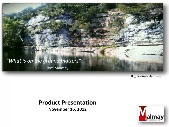
“What is on the ground matters“ - Tom Malmay. Buffalo River, Arkansas. Product Presentation November 16, 2012. Publish your data Product Application : Hazard Mitigation Planning Emergency Operation Planning Disaster Recovery Exercise Design Monitor Social Media.

E N D
“What is on the ground matters“ - Tom Malmay Buffalo River, Arkansas Product Presentation November 16, 2012
Publish your data Product Application : Hazard Mitigation Planning Emergency Operation Planning Disaster Recovery Exercise Design Monitor Social Media Collaboration Made Easy Effortlessly share your maps and data on blogs, web pages, and web applications, or to Facebook and Twitter. Access a rich collection of basemaps, demographic maps, image services, and data. These maps are a great foundation for your work and are created only from the authoritative content from commercial data providers and the GIS user communities around the world.
Spatial Analysis Products Product Application : Hazard Mitigation Planning Emergency Operation Planning Disaster Recovery Exercise Design
Demographic and Business Analyst Reports Product Application : Hazard Mitigation Planning Emergency Operation Planning Disaster Recovery Exercise Design • Site Selection and Market Analysis • Analyze and compare locations using thousands of demographic and business variables to reduce site selection risks. • Gain insights with Tapestry segmentation based on demographic and socioeconomic profiles. • Custom Mapping • Map any market metric to see trends and patterns. • Explore scenarios on the fly. • Custom Reports • Support data-driven decisions with reports customized to your location. • Create reports for any area on the map, including specific rings, drive times, hand-drawn shapes, or standard geographies, down to the Census block group level. • Reports available almost • instantly as PDFs or in • Microsoft Excel.
Project Management Support Application : Hazard Mitigation Planning Emergency Operation Planning Disaster Recovery Exercise Design
Recap: Core Services A. Project Management Support 1. Project work plan development. 2. Scheduling - Traditional and (cloud services). 3. Tracking Deliverables 4. Status Reports. B.Economic Development Support 1. Showcasing properties and surrounding infrastructure. 2. Associated demographic reports. 3. Presentation development. C. GIS Support Services 1. Static and web map applications. 2. Hazard Profile services D. Project development and design • Project Management and GIS Support Services include cloud services.