Download
1 / 26
260 likes | 277 Views
The Geo-Spatial Digital Archive Project aims to establish an online data service center for geo-spatial information in Southeast Asia. Users can access data via text, geo-location, or metadata search methods for various studies. The project addresses the lack of public access to digital archive data in Thailand and provides applications for history, archaeology, urban studies, and land use/cover studies.

E N D
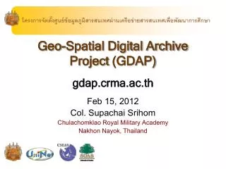
โครงการจัดตั้งศูนย์ข้อมูลภูมิสารสนเทศผ่านเครือข่ายสารสนเทศเพื่อพัฒนาการศึกษาโครงการจัดตั้งศูนย์ข้อมูลภูมิสารสนเทศผ่านเครือข่ายสารสนเทศเพื่อพัฒนาการศึกษา Geo-Spatial Digital Archive Project(GDAP) gdap.crma.ac.th Feb 15, 2012 Col. Supachai Srihom Chulachomklao Royal Military Academy Nakhon Nayok, Thailand
Outline • GDAP Overview • Objective, Motivation, Problems, Data format • GDAP system design • GDAP web portal • GDAP Implementation • Focus area • Implementation plan
Objective • Establish the South-East Asia Geospatial information center. • Produce a demonstration system of online geo-spatial data service • User can search and access the data through various methods: text search, geo-location search, and meta-data search. • The applications of the data will be for any studies that can utilize these data sets
A demonstration system of online geo-spatial data service that user can search and access the data Overview of GDAPGeo-Spatial Digital Archive Project through various methods: text search, geo-location search, and meta-data search. The applications of the data will be for any studies that can utilize these data sets.
Motivation • Availability of • Data: digital data via remote sensors, aerial photos, vector, 3D, public maps • Communication: internet, multimedia • Tools/Software • Cheaper hardware: computers, storage, digital cam, camcorder
Problem Statement • Rarely exist online digital archive for Geo-Spatial Digital Data in Thailand • Most kept for private usage • Create online Geo-Spatial Digital Archive for public research
Sample Applications • History and Archaeology Study • Urban Study • Land Use/Land Cover Study
Map Interface Data Flow Diagram Other Map Sources Original TIFF Converted JPEG Geo-Locate OpenLayer Search Engine Digital Archive Metadata Text-Based
Map Interface GDAP Search Engine Other Map Sources • Google, MapServer • WMS, Yahoo, etc. MySQL OpenLayer Metadata • OpenLayer script • Query to MySQL • Embedded in HTML Search Engine Digital Archive Text-Based Listing + Thumnail * Keyword Search * Web Interface * PHP Query to MySQL Directory-Based
GDAP web site SL-04
Data in Digital Archive PC-02
LOCATION INDEX Present Data in Location Order PC-03
Keyword Search Map System PC-03b
Keyword Search bangkok PC-04
Digital Map Example PC-06
Show the location of Map Data On the Mark PC-10a
Acknowledgement • CRMA • University of Kyoto - CSEAS • University of London -SOAS • Uninet