Download
1 / 27
270 likes | 289 Views
Analyzing GPS Radio Occultation data to study atmospheric trends, variability, and temperature anomalies in the UTLS, with a focus on volcanic impact monitoring and climate variability assessment.

E N D
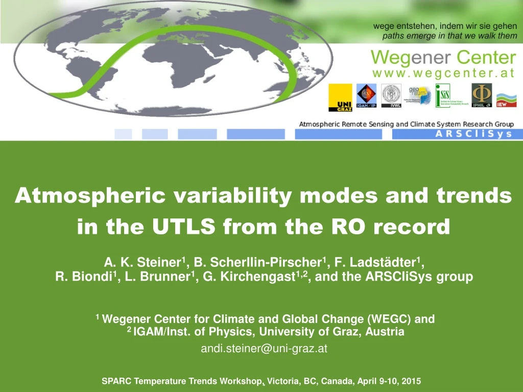
Atmospheric variability modes and trends in the UTLS from the RO record A. K. Steiner1, B. Scherllin-Pirscher1, F. Ladstädter1, R. Biondi1, L. Brunner1, G. Kirchengast1,2, and the ARSCliSys group 1 Wegener Center for Climate and Global Change (WEGC) and 2 IGAM/Inst. of Physics, University of Graz, Austria andi.steiner@uni-graz.at . SPARC Temperature Trends Workshop, Victoria, BC, Canada, April 9-10, 2015
GPS Radio Occultation GPS–LEO satellite constellations • Global Positioning System (GPS) radio signals at 2 frequencies1575.42 MHz (~19 cm) 1227.60 MHz (~24 cm) • Receiver on LEO satellite • Occultation geometry • Atmospheric refractionof signals • Measurements of phase path based on precise atomic clocks • Retrieval ofkey atmospheric/ climate parameterse.g., refractivityN, pressure p,geopotential heightZ, temperatureT, humidityq Courtesy: T. Rieckh
GPS RO Data Availability and Products • Bending angle • Refractivity • Pressure • Geopotential height • Temperature • Humidity • Tropopause parameters • Geostrophic/gradient wind Number of Observations over Time (Fig. courtesy: R. Biondi/WEGC) (Fig. courtesy: U. Foelsche/WEGC)
Summary of RO Data Characteristics • Global coverage • All weather capability • Best data quality in upper troposphere–lower stratosphere (UTLS) • Vertical resolution~0.3 km to ~1.5 km in the UTLS • Horizontal resolutionabout 100 km to 300 km in the UTLS, synoptic scales, climate • Long-term stabilitymeasurements based on accurate&precise clocks (SI-traceable to time) • Noneed of inter-satellite calibration • Error characterization of profiles and climatological fields • Structural uncertainty estimates
RO Data Consistency • Consistency of different satellitesOne processing center WEGC • meeting GCOS climate monitoring targetsin UTLS • long-term stable within ~0.1 K/decade(not for horizontal target resolution <100km, and not yet globally) • different processing centersStructural uncertainty CHAMP Temperature [Ho et al. JGR 2009, 2012; Foelsche et al. TAO 2009, AMT 2011; Steiner et al. RS 2009, ACP 2013]
Cal/Val – Comparison with other Observations (1) Envisat MIPAS and GOMOS (here global 10/20km–30km) • ESA projectMMValROMulti-Mission Validation against RO • RO is a valuable reference record over Envisat period 2002–2012 • MIPASv6.0 was ‘test-reprocessing’; the slight bias from Q4/2006 is from stronger bias < 17 km; official re-processing on-going to ~May 2015 GOMOS – v6.01 MIPAS – v6.0 http://validate.globclim.org [Schwaerz et al. OPAC-IROWG 2013; TR ESA-ESRIN 2013]
Cal/Val – Comparison with other Observations (2) Radiosonde Data Vaisala90/92 vs RO [Ladstädter et al. AMT 2015]
Cal/Val – Comparison with other Observations (3) RAOBs V90/92 and GRUAN vs RO fordayandnight • Annual-meantempdifferences (global, 10hPa–30hPa, day/night) [Ladstädter et al. AMT 2015]
Atmospheric Variability – Volcanoes (1) Thermal structurebeforeand after volcaniceruptions • Detectionofvolcaniccloud top height: Nabrovolcano eruption before (1-11 June 2011) after (12-14 June 2011) [Biondi et al., A novel technique including GPS RO for detecting and monitoring volcanic clouds, GRL 2015, in revision]
Atmospheric Variability – Volcanoes (2) Thermal structure after volcaniceruptions • Temporal evolutionofvolcaniccloud top & thermal structurefrom RO ○Caliopdata Nabro, Eritrea (13.37°N, 41.70°E), 12 Jun 2011, mainly SO2 cloud) Puyehue Chile (40.35°S, 72.07°W), 5 Jun 2011, mainly ash cloudand Ejafjöll Iceland (63.63°N, 19.60°W), March and April 2010, ash and SO2 cloud [Biondi et al., A novel technique including GPS RO for detecting and monitoring volcanic clouds, GRL 2015, in revision]
Monitoring Climate Variability with RO RO Temperatureanomalies 05/2001-12/2013 in UTLS (SE subtracted) • QBO signalabove the tropical tropopause • ENSO signal below the tropical tropopause
Principal Component Analysis – QBO Principal component analysis in LS (20km-30km):PC1, PC2 → QBO
Regression Results (1) Regression Results Tropical LS: altitude levels 25 km and 20 km
Regression Results (2) Regression Results Tropical UT:altitude levels 15 km and 10 km
QBO and ENSO Variability DeseasonalizedTemp. Anomalies Kelvin Waves [Scherllin-Pirscher et al. EGU 2015] QBO & ENSO Residual Variance
RO Temperature Trends in Tropical UTLS Trend in TropicsVariance • Trend not significant, residual variance large near TP, above 28 km
Ozone and Temperature Evolution Ozoneobservations – verticallyresolved: • HARMOZ: Harmonizeddatasetofozoneprofileoccultationandlimbsounders: GOMOS, MIPAS, OSIRIS, ACE-FTS [Sofieva et al. ESSD 2013] • GOZCARDS: Global ozoneandrelatedtrace gas recordsforthestratosphereMerged SAGE, HALOE, MLS, ACE-FTS [Froidevaux et al. AMT 2013] • SBUV: Solar BackscatterUltraVioletinstruments (nadir) [Bhartia et al. AMT 2013] • ERA-Interim: ECMWF reanalysis-Interim Temperaturedata: RO and ERA-Interim HARMOZ ozoneanomalies GOSZCARDS ozoneanomalies [L. Brunner, MSc Thesis, WEGC Rep. 2014]
Ozone and Temperature Regression Results Multiple Standard Linear Regression: QBO winds, ENSO SST indices HARMOZ QBO coeff. SBUV QBO coeff. RO QBO coeff. RO ENSO coeff. [L. Brunner, MSc Thesis, WEGC Rep. 2014]
Ozone and Temperature Trends 2002–2012 RO Temperature ERA-Interim Temperature HARMOZ Ozone GOZCARDS Ozone SBUV Ozone ERA-Interim Ozone • Agreement RO and ERA-Int, temperaturetrends not significant, large nat. variability • O3increase in mid- andupperstratosphere at mid- and high latitudes • O3decline in tropicsnear 30 km to 35 km, consistentwithliterature • Anti-correlationof O3andtemperatureabove ~30 km, pointstoindirecteffects/feedbacks [L. Brunner, MSc Thesis, WEGC Rep. 2014]
Conclusions GPS RO – a unique resource: • high accuracy and vertical resolution, consistency, long-term stability • reference standard in the troposphere/stratosphere- for validating and calibrating data from other observing systems- as absolute reference within assimilation system- for climate model evaluation • for monitoring climate variability and climate change • meeting GCOS climate monitoring targets in the UTLSGPS RO long-term stable within ~0.1 K/decade (not for horizontal target resolution <100 km, and not yet globally)
Outlook • Reference records with integrated uncertainty estimation(SI-traceable) • Structural uncertainty assessment(RO Trends Working Group) • Improving the maturity of RO climate records (SCOPE-CM* project RO-CLIM) • Contribution to the WMO Integrated Global Observing System (WIGOS) • Scientific applications in support of WCRP grand challenges • Essential: continuous global observations “Ensure the continuity of the constellation of GNSS RO satellites.” (Action A21 [A20 IP-04], GCOS-138, 2010) *SCOPE-CM (Sustained and coordinated processing of Environmental Satellite data for Climate Monitoring) [GCOS-154, 2011]
Activities – AMT Special Issue – Results OPAC 2013 www.atmos-meas-tech.net/special_issue68.htmlwww.atmos-meas-tech-discuss.net/special_issue48.html
Activities – IROWG-4 Workshop Upcoming www.irowg.org The IROWG was established as a permanent Working Group of the Coordination Group for Meteorological Satellites (CGMS) at the 37th meeting in October 2009 (Jeju Island, South Korea). The IROWG is co-sponsored by CGMS and the World Meteorological Organization (WMO). The IROWG serves as a forum for operational and research users of radio occultation data. • UPCOMING next week:IROWG-4 WorkshopApril 16–22, 2015 Melbourne, Australiahttp://cawcr.gov.au/events/IROWG-4/
Announcement OPAC-IROWG 2016 Workshop Joint OPAC-6 & IROWG-5 8–14 September 2016 2016 6 (www.uni-graz.at/opacirowg2013)
Thanks for funds to THANK YOU ! Note: WEGC publications available at www.wegcenter.at/en/arsclisys-publ
Cal/Val – Comparison with other Observations (3) RAOBs V90/92 andGRUANvs RO CHAMP, GRACE, COSMIC • Annual-meantempdifferences (global, altituderange 100hPa–30hPa) [Ladstädter et al. AMT 2015]
Atmospheric Variability – Convective Clouds Thermal structure of strong convective systems – Cyclones • Detection of cloud top height using RO bending angle and temperature West Pacific Ocean South Pacific Ocean [Biondi et al. 2010, 2011, 2014]