Download
1 / 22
250 likes | 484 Views
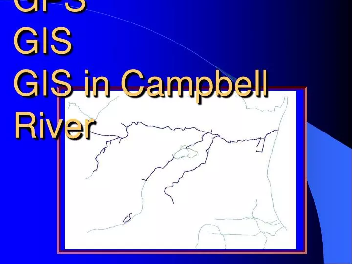
GPS GIS GIS in Campbell River. GPS GIS GIS in Campbell River. GPS: Global Positioning System. Originally designed for use by the military It is a satellite-based, radio navigation system giving accuracies of around 25 meters, anywhere on earth. How receivers use satellites.

E N D
GPS: Global Positioning System • Originally designed for use by the military • It is a satellite-based, radio navigation system giving accuracies of around 25 meters, anywhere on earth
How receivers use satellites • Receivers are able to determine the distance to a satellite • Need at minimum of four satellites to determine your location in 3D (there are four unknows: latitude; longitude, height and receiver clock error)
Two satellites and you know the distance to each one Three satellites with three known distances
Errors inherent to GPS • Positional error is due to: • the individual GPS pseudorange • dilution of precision effect of the satellite geometry
Errors in GPS: Pseudorange
Errors in GPS: Dilution of precision • Due to the position of the satellites Good geometry Bad geometry
GIS: Geographic Information System • GIS is a computer system capable of assembling, storing, manipulating, and displaying geographically referenced information • Relate information from different sources as long as the location of variables are known (aerial photographs with water sampling information)
Data capture • Data available in digital form, in a form the computer can recognize • If the data to be used are not already in digital form, various techniques can capture the information. Maps can be digitized, or hand-traced with at computer mouse, to collect the coordinates of features. Electronic scanning devices will also convert map lines and points to digits • Data can be collected with a GPS unit
Data collection methodology • SHIM: Sensitive Habitat Inventory and Mapping • Collects the centerline of the stream (points or dynamic line) while locating habitat features and features affecting fish distribution and stream health • Examples of features: Bridges, Culverts, Bank Erosion, Storm Drain Enhancement Sites, Spawning Habitat, Wetlands
Integration of Data • Various programs to integrate the data • Process of adding layers • Ability to link to databases
GIS in Campbell River Streams with SHIM Data in the Campbell River Area and on Quadra Island
GIS in Campbell River • Obtain GIS layers • Review the SHIM data and conduct Quality Assurance – Quality Control • Production of the Community Watershed Atlas and to get data included into the Sensitive Habitat Atlas