Download
1 / 16
• 480 likes • 1.2k Views
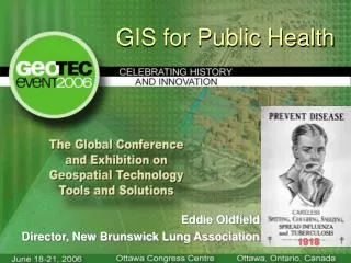
GIS and Public Health. Jeff Jones, PhD, UK College of Public Health. Overview . What is public health ? How are public health researchers applying GIS? How are public health practitioners applying GIS?. What Is Public Health ?.

E N D
GIS and Public Health Jeff Jones, PhD, UK College of Public Health
Overview • What is public health? • How are public health researchers applying GIS? • How are public health practitioners applying GIS?
What Is Public Health? • Medicine = treating an individual who usually is already ill or dealing with a chronic condition • Public Health = intervening with a population to prevent negative health outcomes or promote positive health Sanitation Food Safety CDC Health Systems Immunizations Health Administration Health Surveillance Systems Emergency Preparedness
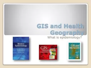
The Beginnings of Public Health In the 1840s Dr. John Snow, a London physician, tracked cholera deaths in the Soho neighborhood to shared use of a contaminated pump. Today we view him as the father of epidemiology.
UK College of Public Health Offers graduate degrees (MPH, MHA, PhD, and DrPH) • Biostatistics • Epidemiology • Gerontology • Health Behavior • Health Services Management • Preventative Medicine and Environmental Health
Public Health Research and GIS • Public health researchers use GIS in a variety of ways including: • Basic locator maps for presentations • Spatial analysis of disease clusters • Increasing efficient linkage of patients to care facilities • Assigning clinical staff to clinics in the most efficient manner possible • Linking health outcomes to environmental factors • Modeling emergency preparedness
Public Health Practice and GIS • Kentucky public health agencies regularly use GIS to show disease rates, service areas, and other data suitable for spatial presentation. • Some agencies use GIS to help them evaluate programming and other needs. • A number of public health websites now present data for states or counties in map formats.
Lead Abatement • The Kentucky Department for Public Health has done some innovative work tracking housing units in Louisville linked to repeated lead exposure in children.
The Future of GIS in Public Health • Currently GIS’ capabilities are not fully utilized in public health. GIS is primarily used to produce static maps rather than for spatial analysis or for interactive use. • GIS would likely be more widely used if ESRI offered a simpler version for basic mapping.
Thank You Jeff Jones, PhD UK College of Public Health Jeff.Jones@uky.edu