Download
1 / 7
70 likes | 249 Views
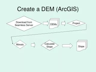
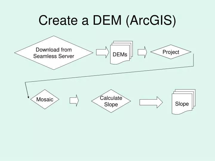
Create a DEM (ArcGIS). Download from Seamless Server. DEMs. Project. Mosaic. Calculate Slope. Slope. Download & Register Imagery (ENVI). Correct To reflection. Landsat 5. Stack. Register L7 to L5. Download. Stack. Correct To reflection. Landsat 7. Assign NDVI Classes (ENVI).

E N D
Create a DEM (ArcGIS) Download from Seamless Server DEMs Project Mosaic Calculate Slope Slope
Download & Register Imagery (ENVI) Correct To reflection Landsat 5 Stack Register L7 to L5 Download Stack Correct To reflection Landsat 7
Assign NDVI Classes (ENVI) Water Classification L 5 Land Classification NDVI Low Weight all NDVI Values NDVI Classification NDVI Med NDVI Hi Do the same for L7 image!
Classify Image for Land Use (ENVI) L 5 Agric Fallow Land Use Classification Streams & Rivers Roads Weight all LU Classifications Urban Lakes & Ponds Wetlands Forest, Shrub, Grass Agric Active Do the same for L7 image!
Download & Project Soil Classes (ArcGIS) Download from USDA Server Soils Project
Download & Project Rivers, Basins, HUCs (ArcGIS) Rivers & Basins Download from USDA Server Project Calculate Stream Lengths Calculate HUC Areas Categorize by HUC
HUC Erosion Potential Index (HUCEPI) Model (ArcGIS) HUC Area HUCEPI Slope NDVI Land Use Soil X X X X = HUC Stream Length