Download
1 / 10
100 likes | 230 Views
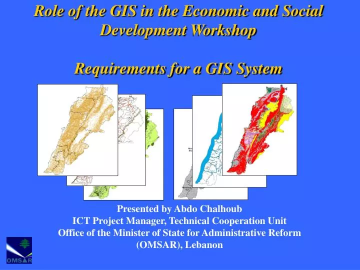
Role of the GIS in the Economic and Social Development Workshop Requirements for a GIS System. Presented by Abdo Chalhoub ICT Project Manager, Technical Cooperation Unit Office of the Minister of State for Administrative Reform (OMSAR), Lebanon. Presentation Outline.

E N D
Role of the GIS in the Economic and Social Development WorkshopRequirements for a GIS System Presented by Abdo Chalhoub ICT Project Manager, Technical Cooperation Unit Office of the Minister of State for Administrative Reform (OMSAR), Lebanon
Presentation Outline Components of the GIS System: • Software • Human Resources • Data • Hardware • Policies & Procedures
GIS Requirements:Software • GIS Packages: • ESRI Products: ARC GIS • Intergraph Products: GeoMedia • And many other Products: Mapinfo, Geoconcept, etc.. • Tailored Applications: • Specially Developed for organizations based on their specific needs
GIS Requirements:Human Resources GIS is relatively new technology for the Lebanese Government therefore: Training and awareness programs are required Raising Awareness such as : workshops, seminars to highlight the capabilities of GIS
GIS Requirements:Human Resources (Continued) • Training requirements • There are two types of users: • Application administration (responsible for data preparation): • This type of users requires an advanced level of GIS knowledge • GIS users (data manipulation): • Only requires basic knowledge of GIS
GIS Requirements:Data • The Data is : • The ‘Fuel’ for GIS • The most costly component: • 80% of the cost of GISrelates to data
GIS Requirements:Data (Continued) • Type/Source of Information: • Base Maps: Administrative boundaries, contour lines, roads, etc ..DAG • Thematic Maps: land use, bird flu, schools, farms, hospitals (to be developed by the organization itself or outsourced) • Data Model: compatible with the National GIS Data Model (the 10 Themes of DAG) • Special consideration should also be given to having a standard format of Metadata to facilitate data exchange
GIS Requirements:Hardware • For Application Administration: • Dual Xeon Processor (3 GHz or better) • 4 GB RAM • Fast Storage Controller (SCSI) • 256-bit Video Card with 256 MB video RAM • Support 2 Monitors • 22” Monitor • For GIS users: • Pentium IV Processor (3 GHz or better) • 2 GB RAM • 128-bit Video Card with 128 MB video RAM • 22” Monitor • For External GIS users (Web users): • Any Machine running Web Browsing Software
GIS Requirements:Policies & Procedures • For: • How and when to update data (Maps, GIS Layers, etc..) • Who can update • Backup and recovery • Information Security • Etc..
Thank You! Useful web site resources: http://www.informs.gov.lbhttp://www.OMSAR.gov.lb Eng. Abdo Chalhoub ICT Project Manager Technical Cooperation Unit achalhoub@OMSAR.gov.lb