Download
1 / 31
310 likes | 459 Views
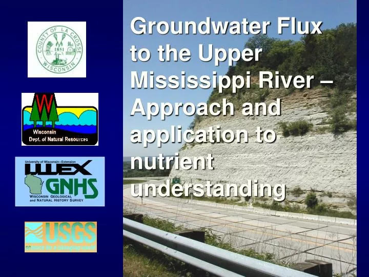
Groundwater Flux to the Upper Mississippi River – Approach and application to nutrient understanding. True confessions…. The “Upper Mississippi River” has a mix of geologic terrains and associated groundwater flow systems This talk focuses on the unglaciated areas

E N D
Groundwater Flux to the Upper Mississippi River – Approach and application to nutrient understanding
True confessions…. • The “Upper Mississippi River” has a mix of geologic terrains and associated groundwater flow systems • This talk focuses on the unglaciated areas • However, approaches/insights gained are applicable to larger system • Work presented here was team effort
La Crosse County City of La Crosse Pool 8 of Mississippi River (Rick Hooper $) Coon Valley Watershed La Crosse Areas covered by Study
Present objectives • Characterize regional groundwater flow system • Quantify groundwater flow into Pool 8 and estimate importance for nitrate loading • Identify the area that contributes water to each municipal well • Investigate virus occurrence in municipal wells • Evaluate the effects of changing land use (primarily ag practices) on groundwater resources
Project Approach • Develop a simple regional groundwater flow model for greater La Crosse area • Cut out smaller models from regional model (Pool 8, La Crosse County, Coon Valley) • Perform project objectives on smaller models
Regional Model Pool 8 Model La Crosse County Model Coon Valley Model La Crosse Virus study La Crosse Area Projects
How groundwater models work: • Plumber’s Rule • Scotty’s Rule • Numerical equations representing real world entered into the computer • Allows us to quantify system and forms the basis for prediction • Data requirements can be large
Conceptual model La Crosse River Lemon Weir River Mississippi River
Black River @ Neilsville simulated areas outside of watershed of interest La Crosse Miss. River Black River LaCrosse Kick-apoo Root Coon 175 miles Regional Area Covered by the GFLOW AE Model
Potential Problems • Gaging station data sets may not overlap in time • Large basins have long-term gaging stations, but also may have confounding factors (e.g., dams) • Definition of baseflow = ? • Average baseflow may not be stationary in time
1200 180 160 1000 140 800 120 100 600 80 400 60 40 200 20 0 0 1997 to 2000 1992 to 2000 1938 to 1976 “Average baseflow” may not be stationary in time… Changes in Q50 flows over time at Four Gaging Stations Q50 of Kickapoo and La Crosse River (cfs) Q50 of Black and Root River (cfs) Black nr Galesville Root nr Houston Kickapoo @ La Farge LaCrosse @ Sparta 1938 to 2000
1200 1000 Measured Simulated 800 Q50 Baseflow (cfs) 600 400 200 0 Root River @ Black @ La X @ Sparta Kickapoo @ La Coon @ Coon Houston Galesville Farge Valley Results 1999 Q50 baseflow
NE to SW 9.1 8.2 8.0 6.4 R_Black R_Lax R_Kickapoo R_Coon R rates needed to match flux targets Optimized R rates (1999 Q50 targets, base=500) 12 11 10 Basin R rate (in/yr) 9 8 7 6 5
11.7 NE to SW 9.1 8.2 8.0 6.4 R_Root R_Black R_Lax R_Kickapoo R_Coon Okay, complete results Optimized R rates (1999 Q50 targets, base=500) 12 11 10 Basin R rate (in/yr) 9 8 7 6 5
Digression: What is going on in the Root River? • Root River (using 1999 target) is higher than expected, with R rate higher than we’d expect to see in the NE parts of Wisconsin! • If we used the entire record (from 1909 until the present) the Root River has the lowest R rate of all basins • Upstream gage knocked out and not replaced • Suggests lack in our understanding,and a problem with our handling of the 1999 measured target • Need to monitor the tributaries if you want to simulate the larger system
Looking at the Pool as a whole under baseflow conditions… Source of Water to Pool 8 0.5% 6.4% Pool 7 inflow Tributary inflow Direct GW discharge 93.1%
Being that simulated streams at baseflow = “indirect gw dischg”… 7% Pool 7 inflow Surface water 0% Groundwater (indirect and direct) 93%
Not to say there is no event water… Estimated Total Flow using Sartz (1977) 7% 2% Pool 7 Stormflow Baseflow 91%
Geologic section La Crosse River Lemon Weir River Mississippi River Hole in Confining Unit Eau Claire Confining Unit
Northern part of Pool 8 Top of Eau Claire (blue=sh/slt or ss w/ much sh; green=ss w/ some sh)
Note how similar model is to conceptual model in cross section
E-W cross section near Goose Island Area of strong upward gradients (artesian wells) City of La Crosse E-W cross section near Goose Island Pool 7 Pool 8 Plan view Pool 8 model domain extracted from AE 2D model
0.5% 0.4% 6.4% 6.5% Pool 7 inflow Tributary inflow Groundwater 93.1% 93.1% 2D and 3D Regional Model Results 3D FD Source of Water to Pool 8 2D AE Source of Water to Pool 8
Distribution of Flux from FD model River cell flux, ft3/d River Cell Flux (ft/d) 2.7 – 0.05 0.05 – 0.02 0.02 – 0.007 0.007 – 0.005 0.005-0.004 0.004 – 0.003 0.003 – 0.0 Recharge 0 – 2.6 **Preliminary Results
Max NO3= 16 mg/l as N Max NH4= 0.4 mg/l as N Max NO3= 13 mg/l as N Max NH4= 0.3 mg/l as N Max NO3= 6 mg/l as N Max NH4= 7 mg/l as N Max NO3= 3 mg/l as N Max NH4= 15 mg/l as N Nitrogen Data from BRD River cell flux, ft3/d River Cell Flux (ft/d) 2.7 – 0.05 0.05 – 0.02 0.02 – 0.007 0.007 – 0.005 0.005-0.004 0.004 – 0.003 0.003 – 0.0 Recharge 0 – 2.6 **Preliminary Results
Take Home Points • We have gw-sw modeling tools that can cover large areas (Mississippi Pool scale) • 2D models performed well for: • Calculating boundaries for 3D inset models • Pool 8 water balance information • 3D model performed well for: • representing best available knowledge • Time of travel, vertical gradients, distribution of flow into pool • Direct GW discharge to Pool 8 was small % • Distribution important for other research questions • Would be dominant if gw included discharge to tribs