Download
1 / 23
230 likes | 494 Views
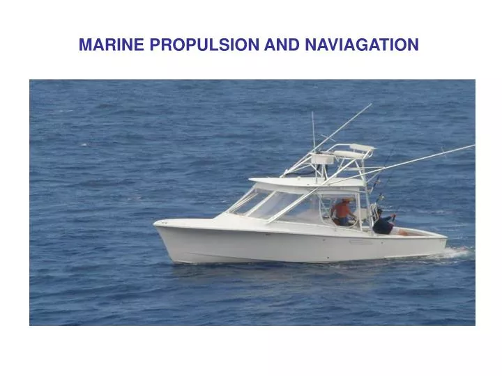
MARINE PROPULSION AND NAVIAGATION. Marine Propulsion. Methods of marine propulsion: A. Nuclear: -Has a nuclear power plant inside ship. -Creates heat energy that can be used to run a steam turbine or power generators. B. Steam Turbine:

E N D
MarinePropulsion Methods of marine propulsion: A. Nuclear: -Has a nuclear power plant inside ship. -Creates heat energy that can be used to run a steam turbine or power generators. B. Steam Turbine: -Require a heat source to make steam forcing the turbine blades to turn on a shaft. -Few moving parts, very controllable and reliable. C. Gas Turbine: -Uses a turbine shaft like a steam turbine but combustion occurs in the engine. -Efficient, powerful, and few moving parts. D. Diesel: -High compression powerful internal combustion engines that run on diesel fuel. -They are reliable, and generate lots of torque.
Other Types of Marine Propulsion • Inboard/Outboard • Inboard • Outboard • Jet Drive • Airboats
Marine Navigation Types of marine navigation: A. Compass: -Points in the direction you are heading in relation to the earth’s magnetic field. B. Charts: -Used when traveling in small waterways. -Show coastlines, water depths, and any hazards. C. Plotting: -Chart showing the course of the ship. D. Deadrekoning: -Once a ship is out of sight of land, calculation of one’s position on the basis of distance run on various headings since the last precisely observed position.
Electronic Navigation A. Depth Finder: -An instrument with a screen that shows what is below the ships hull. -Helps to keep the ship from running aground. B. Doppler Sonar: -Instrument used to determine a ships speed in relation to the oceans bottom. C. Radar: -Sends out high frequency waves from a rotating antenna. -The waves bounce off objects on all sides of the ship and are shown on a screen. -Distance and direction are shown
Electronic Navigation Continued D. Radio Direction Finder: -Oldest navigation instrument. -Uses a sensitive radio receiver and a rotating antenna. E. Loran: -Uses pulse signals from two stations using Loran charts the ship’s position can be determined from where these pulses cross on the chart. -Long range aid to navigation. F. GPS: -Global Positioning System uses satellites to locate exact position on Earth. -Very accurate and easy to use.
Marine Transportation -Nuclear -Steam Turbine -Gas Turbine -Diesel -Inboard/Outboard -Inboard -Outboard -Jet Drive -Airboat Marine Navigation -Compass -Charts -Plotting -Deadrekoning -Visual Aids to Navigation Electronic Navigation -Depth Finder -Doppler Sonar -Radar -Radio Direction Finder -Loran -GPS Conclusion
ReviewQuestions 1. Briefly explain how a nuclear power ship works. 2. Briefly describe how a steam turbine works. 3. Briefly describe how a gas turbine works. 4. Name three other types of marine propulsion. 5. Define deadrekoning. 6. What are charts? What are they used for? 7. Name three visual aids to navigation. 8. Name one non-visual aid to navigation. 9. Explain what radar is and how it is used to aid navigation. 10. Describe what GPS is.
References www.google.com/images www.yahoo.com/images www.classicmako.com www.thehulltruth.com Sport Fishing Magazine