Download
1 / 21
210 likes | 383 Views
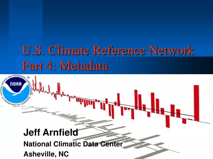
U.S. Climate Reference Network Part 4: Metadata. Jeff Arnfield National Climatic Data Center Asheville, NC. CRN Metadata: the authors. Jeffrey D. Arnfield National Climatic Data Center Claude E. Duchon University of Oklahoma C. Bruce Baker National Climatic Data Center

E N D
U.S. Climate Reference NetworkPart 4: Metadata Jeff Arnfield National Climatic Data Center Asheville, NC
CRN Metadata: the authors Jeffrey D. Arnfield National Climatic Data Center Claude E. Duchon University of Oklahoma C. Bruce Baker National Climatic Data Center Robert G. Quayle National Climatic Data Center Richard R. Heim Jr. National Climatic Data Center Kevin D. Robbins Southern Regional Climate Center Michael J. Janis Southeast Regional Climate Center Andrew H. Horvitz National Weather Service
CRN Goals • Leading edge climate monitoring for 21st century • Improve quantification & detection of climate change • Place climate anomalies and extreme events into historical perspective
Approach • Build on experience from current observation and analysis systems and climate research • Take best advantage of modern equipment and methods • High quality data records are central • Detailed metadata are crucial to establishing and interpreting data records
Information requirements The information chain Specifications & procedures Installation & Maintenance Network Administration Sampling & Averaging Observations Transmission Data Handling Product Creation Information access
Learning from the past • Need a precise, comprehensive view of every link in the information chain at any point in time, and previous versions of information and their effective dates must be accessible • Every aspect of an observing system can change over time • Seemingly small changes can be significant • Information system requirements evolve
Key system characteristics • Flexible, extensible design to accommodate changing information requirements • Oracle relational database engine to manage the data and business rules • Metadata available via the Web • User interface should require minimal training, installation and administration
Traditional Metadata Station identity Latitude, Longitude, Elevation Instrumentation Equipment exposure information Observer ExpandedMetadata Digital images Instrument specifications Calibration and service procedures and history Sampling and validation procedures Processing and quality control algorithms Network administration information Historical versions of values Metadata of interest
Station identification, location & operation Station equipment and maintenance Equipment specifications and service procedures Pre-transmission sampling and averaging procedures Data transmission system and procedures Data handling procedures & systems Derivative data products Network administration information Metadata subject areas
Names Identifiers from various networks Latitude & longitude in decimal degrees from GPS GPS model, PDOP, observation date & time Elevation above mean sea level Geopolitical location State, county, MSA, city... Driving instructions Soil type Vegetation types & condition Exposure Digital images, including Digital photos LANDSAT imagery Aerial Imagery Maps of area Station layout diagram Involved parties, with contact information Neighboring stations Station identification & location
Instrument make and model Serial number Firmware version Date of purchase Horizontal location Height above ground Exposure details, including images as appropriate Phenomena observed Priority primary, backup, etc Units & scale reported Sampling interval Reporting frequency Installed equipment
Installed equipment:maintenance • Scheduled maintenance and calibration • Performed maintenance and calibration log • Date & time of service • Instruments serviced • Service type • Agency & technician name • Procedures used • Results, readings & other objective measurements • Technician’s notes
Manufacturer Model Phenomena measured How the instrument functions Sampling interval range Measurement range Resolution Accuracy Siting and installation requirements Digital images Photos Diagrams Copy of spec sheets Service schedule & details Service type Procedure description Standard values Schedule / frequency Required equipment Required expertise Equipment specifications & procedures
Pre-transmission sampling & averaging • Procedure description • Frequency • Algorithms • Software & hardware used • Version • Firmware • Input source • Special notes
Method of transmission External communication identifiers needed SHEF, WMO, etc Data format transmitted Time standard Transmission time Hardware & software used Involved parties & agencies Data transmission system & procedures
Data handling procedures & systems • Ingest, quality control and conversion procedures & algorithms • Constants & parameter values used • Significant changes to observations • Processing & storage systems • Data inventory and catalog creation • Involved parties & agencies
Derivative data products • Systems, procedures, algorithms used • Description • Period of record • Geographic coverage • Phenomena (elements) included • Product media and format(s) • Access systems
Network administration information • Controlling agency • Supporting agencies • Program manager(s) • Contact information, including DB manager • Defining documentation • Legislative authorizations • Manuals • Training material • Standards used
Current Status • Metadata requirements defined • Logical system design in progress • Initial station implementation underway • Validating metadata requirements and specifications • Requirements are influencing other metadata system development at NCDC • http://www.ncdc.noaa.gov/crn.html